
Let’s take a closer look now at the different types of terrain we encounter while hiking in the Himalayas. At lower altitudes (below 2500m) in the valleys we are likely to encounter forest or trees. The tree-line indicates the upper altitude at which the forests ends and meadows, scrubs or barren landscape starts. Above this altitude there is usually insufficient water, air, heat or soil for larger trees to grow. Similar to the snow-line, the tree-line is different on East-South facing slopes (more solar exposure, more evaporation, less water in soil, likely to find dry grass sooner) vs North-West facing slopes (shady, more water in soil, more forest).
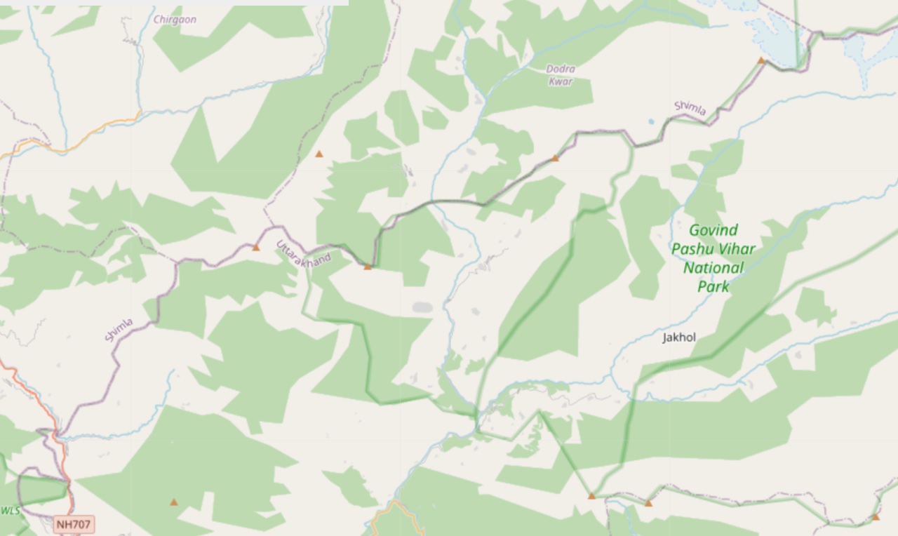
On Open Street Maps forest is marked by green colored regions. On Survey of India maps additional detail is given on the type of trees in and the density (open, fairly dense, sense) of the forest (see below).


Forests
Some of the common types of trees found in the Himalayas, also identified on SOI maps:


Meadows
At higher altitudes above the tree line we encounter open meadows, usually above 2500m altitude. Also called “Thach” (Himachal) or “Bugyal” (Uttarakhand), meadows are important grazing grounds both for local cattle (from villages in valley) as well as nomadic shepherds who take large herds of sheep and goat (500-1000) on an annual migration from the plains through treacherous passes across high ranges to high altitude meadows during summer. Grazing cattle in these meadows which have nutritious snow fed grasses and medicinal plants gives better quality milk and meat.
The importance of meadows is also evident from SOI maps where many Thach or Bugyal-s are named. Where the name of a settlement is useful for local people to guide you in the lower valleys, the name of a meadow will usually guide you in the right direction higher up the valley. You will also likely find active used trails from nearby villages to meadows used by locals for grazing cattle. Depending on the season and altitude you will find colorful herbs blooming in these meadows. During summer / monsoon meadows can grow pretty tall and make it more challenging to find the trail due to overgrowth.


Plants


Assignment
Acknowledge your understanding of forests and meadows in the Himalayas
