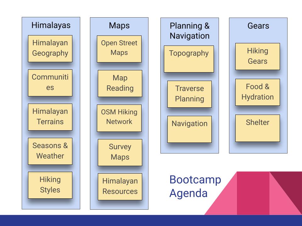
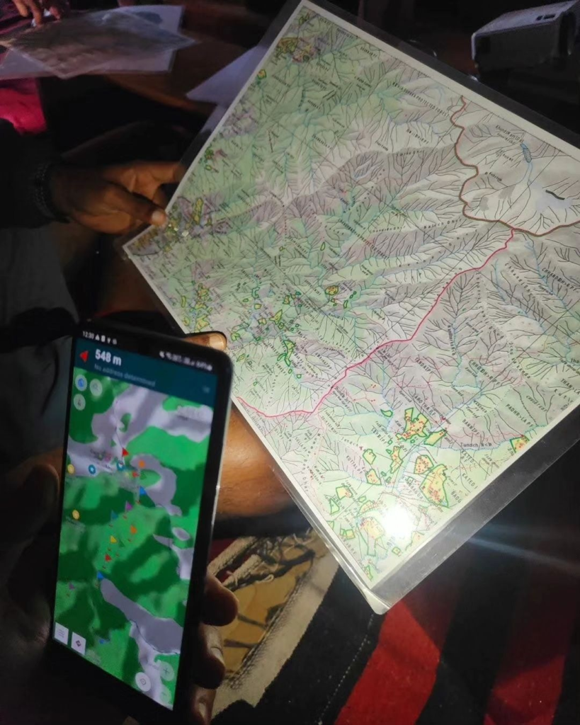
Students will master the art of alpine style hiking in the Himalayas through 16 hands-on modules covering all key aspects of planning and executing an alpine style journey in the mountains. The bootcamp is practical oriented including class room theory, hands-on assignments on phone and field assignments in the trails around the basecamp.

- Hiking Styles – different styles of hiking the Himalayas and significant benefits of Alpine style
- Open Street Maps – introduction, configuration and usage of de facto maps used by the international hiking community
- Understanding Maps – extensive hands-on on map reading via OSMAnd
- Topography – understanding mountain topography, contours, identifying terrain features, peaks, ridgelines, valleys, mountain passes
- Himalayan Communities – fixed & seasonal settlements, nomadic tribes, trails, wildlife. Importance for alpine style hiker
- Hiking Gears – minimalist fast-hiking gears – clothing, weather, shoes, backpack, navigation, communication, technical gears
- Shelter & Camping – usage of natural shelters, tents, camping, sleeping bags for night shelter and adverse weather
- Hiking Networks – global OSM network, route scope, SAC scale, visibility & navigation, overview of popular hiking regions
- Himalayan Geography – high ranges, major rivers, peaks, mountain passes in Western Himalayas – Himachal, Uttarakhand, Ladakh and J&K
- Food & Hydration – importance of food planning and hydration while hiking a Himalayan traverse

- Himalayan Terrains – understanding how to traverse rivers, forests, meadows, rocks, moraines, glaciers and snow
- Survey Maps – history, downloading, geo-referencing, usage & understanding
- Navigation Techniques – GPS based, terrain features, topographic maps, compass & altimeter
- Seasons & Weather – importance of weather and seasons while planning a high altitude traverse in the Himalayas
- Traverse Planning – planning day-hikes, mountain passes, high altitude traverses, acclimatization, multi-pass traverses, long distance journeys, seasonal planning, using satellite maps, topography based route planning
- Himalayan Resources – digital maps, traditional Himalayan paper topo maps, blogs, hiking route repositories, institutes, books
- Mapping Routes – exploring and digitally mapping new trails and outdoor features for the international outdoor community
