
A Digital Elevation Model (DEM) is a representation of the bare ground (bare earth) topographic surface of the Earth excluding trees, buildings,…

A Digital Elevation Model (DEM) is a representation of the bare ground (bare earth) topographic surface of the Earth excluding trees, buildings,…
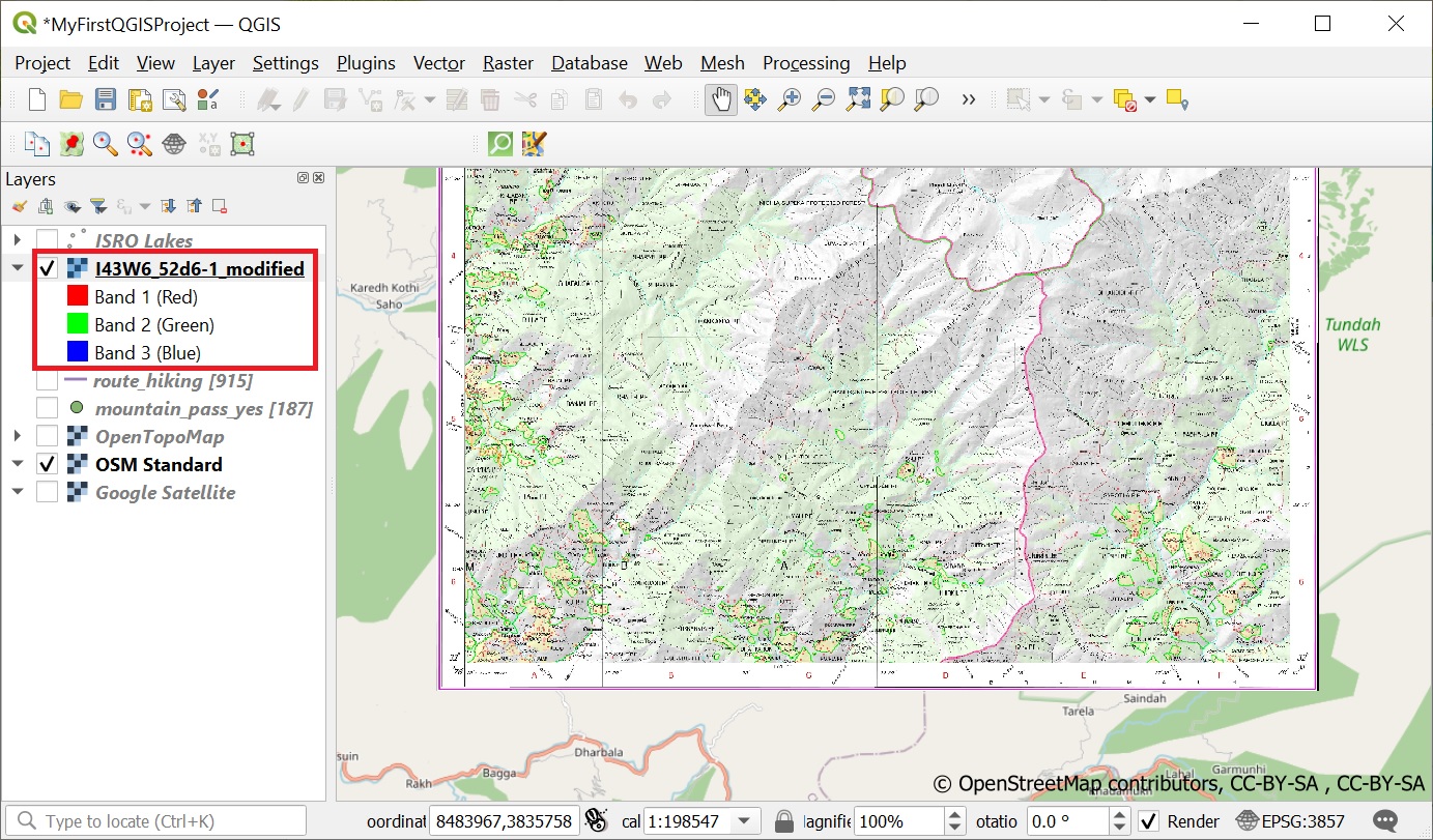
Geo-referencing is the process of taking a digital image and adding geographic information to it so that GIS software can…
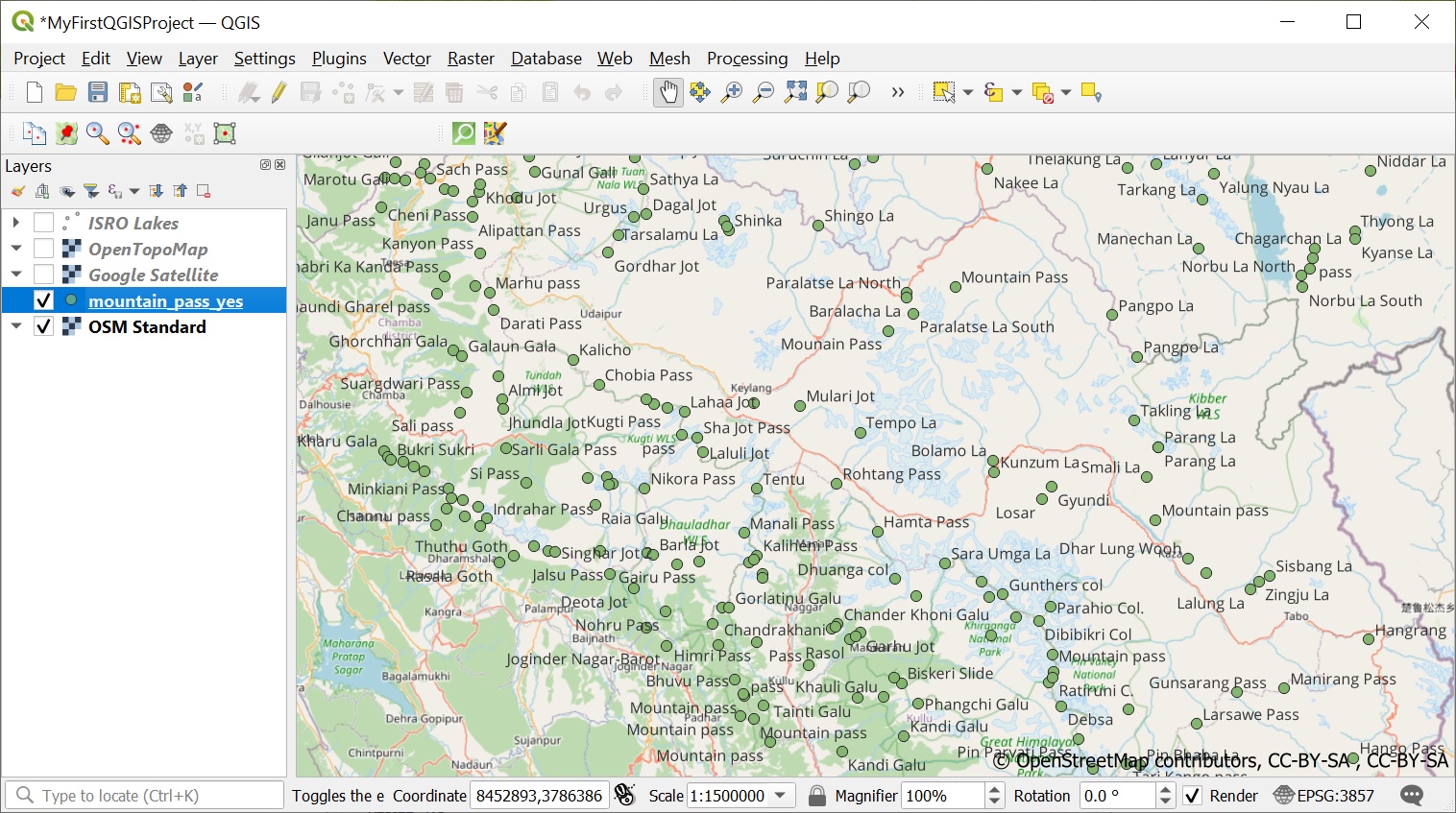
One of the most extensive public datasets of geographic data is Open Street Maps. Let’s play around with some interesting…
Now that we have QGIS up and running let’s start looking at some publicly available data sets for the Western…
Congrats on completing the first 5 chapters of the Alpine Style bootcamp: Chapter 1 – Maps of the HimalayasChapter 2…

Not exactly part of the Himalayan “Terrain” but a standard question in any Q&A session is “How do you manage…
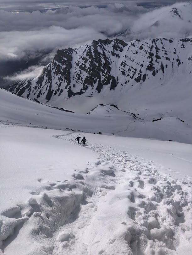
Snow is no doubt one of the more interesting features in the Himalayan terrain. Where glaciers represent permanent ice, snow…
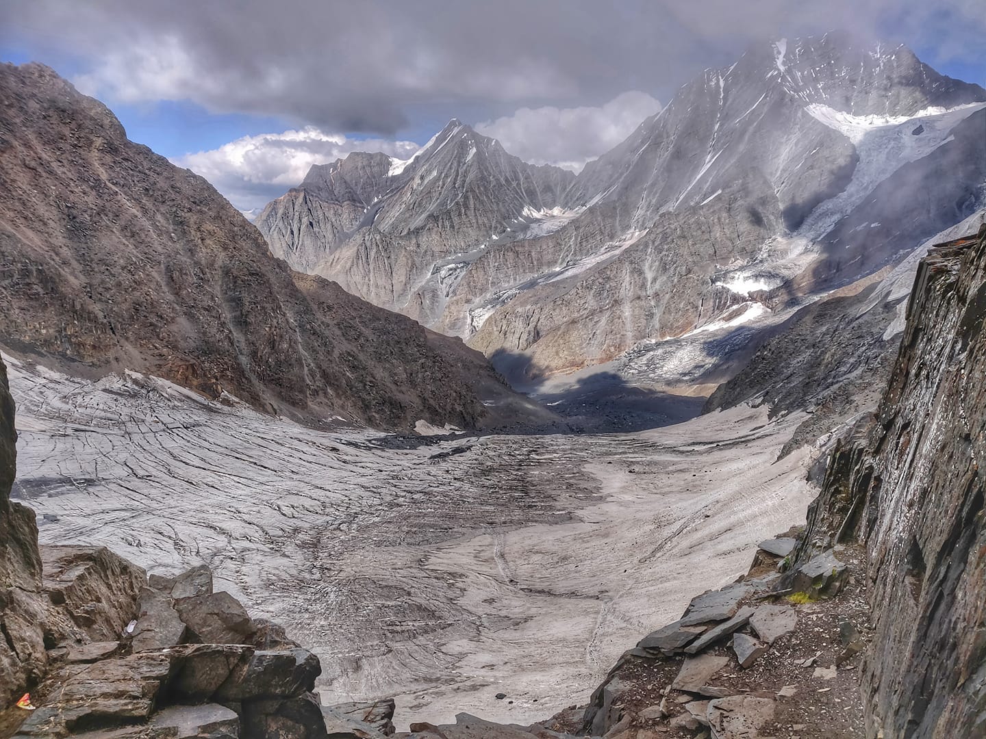
As we hike further above meadows at 3500-4000m altitude we enter into a world of rock and ice. There is…
Let’s take a closer look now at the different types of terrain we encounter while hiking in the Himalayas. At…
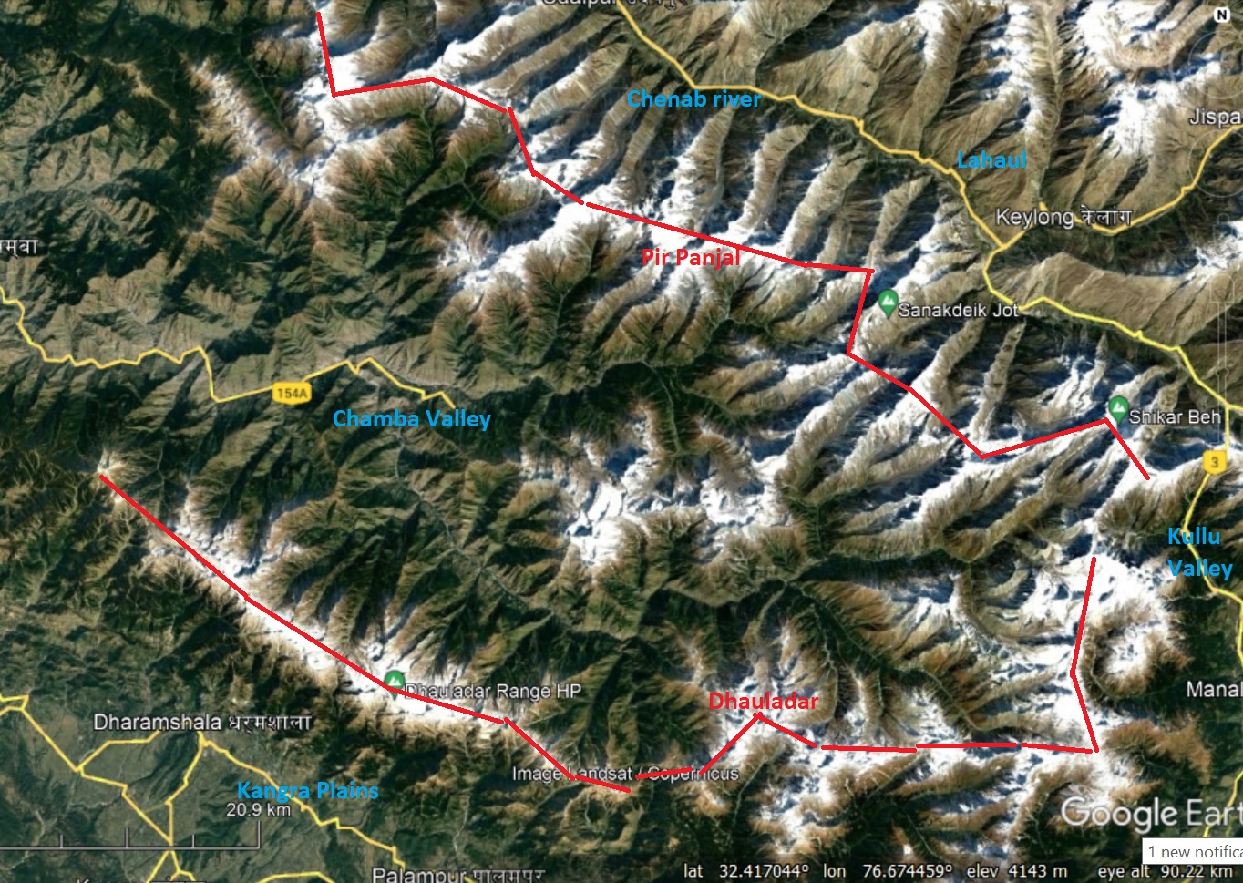
High ranges (also called “Dhar”) are distinct sets of connected high altitude ridgelines in the Himalayas which separate major valleys…