Skip to content
UltraJourneys

Author: Peter Van Geit

  • Home
  • Blog
  • About
    • Profile
    • Social Media
      • Instagram
      • YouTube
      • Whatsapp
      • Patreon
      • Substack
      • Facebook
    • Articles
      • Blogs
      • The Himalayan Club
      • ExplorersWeb
      • Outdoor Journal
      • IMF
    • Interviews
    • News
    • Talks
      • Colleges
      • Corporate
      • Public
      • TEDX
    • Awards
    • Relief
  • Courses
    • Field Bootcamp
    • Online Bootcamp
    • Alpine Webinar
    • Navigation Bootcamp
    • GIS
    • Minimalist Gears
    • Himalayan Regions
    • Sahyadri Regions
    • Self Supported Runs
    • Running in Vietnam
    • GIS Workshop
    • Social Media
  • Himalayas
    • Mapping the Himalayas
    • Guiding Hikers
    • Himalayan Regions
    • Gears
    • Traverse Planning
    • Nepal
    • Alpine Lakes
    • Cycle Touring
    • Ultra Running
  • Maps
    • Himalayan Maps
    • Himalayan Traverses
    • Open Street Maps
    • Journey Maps
    • Survey of India
    • Navigation
    • Topography
  • Journeys
    • J&K 2022
    • Himachal 2021
    • Uttarakhand 2021
    • Trans Sahyadri 2019
    • Trans Himalaya 2019
    • Trans Sahyadri 2018
    • Trans Himachal 2018
    • Vietnam 2018
    • Spiti-Pangi 2017
    • Ultras 2017
    • Pangi-Zanskar 2016
    • Vietnam 2016
    • Pangi 2015
    • Spiti 2015
    • Srilanka 2015
    • Shimla-Leh 2013
  • Sitemap

Alpine Hiking 8D -Digitizing Features

December 30, 2021 Peter Van Geit

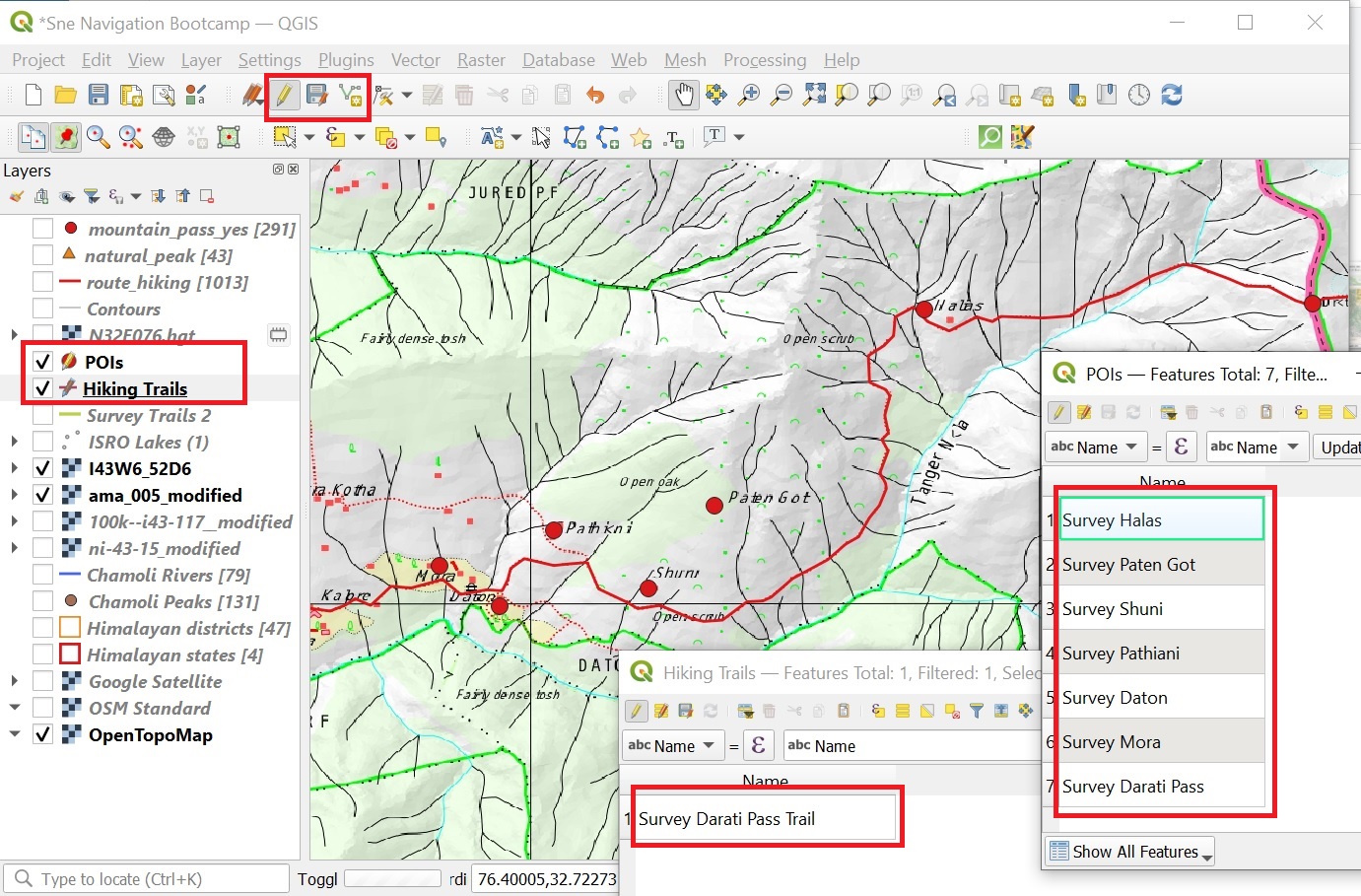
In this module we will digitize the Darati pass trail and surrounding settlements on the 4 geo-referenced maps (Survey, Olizane,…

Continue Reading →

Posted in: 8 Maps of the Himalayas, Alpine Bootcamp DIY

Alpine Hiking 8C – AMS Maps

December 29, 2021 Peter Van Geit

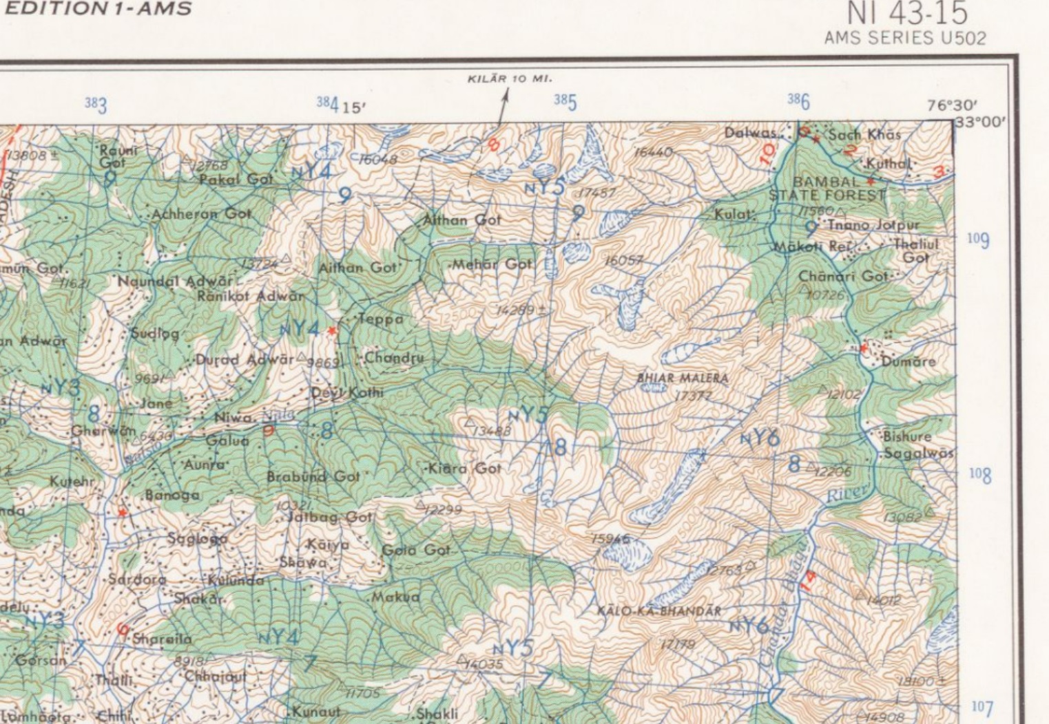
The US Army Map Service (AMS) was the military cartographic agency of the United States Department of Defense from 1941…

Continue Reading →

Posted in: 8 Maps of the Himalayas, Alpine Bootcamp DIY, Himalayan Maps Filed under: Himalayan Maps

Alpine Hiking 8B – Soviet Maps

Peter Van Geit

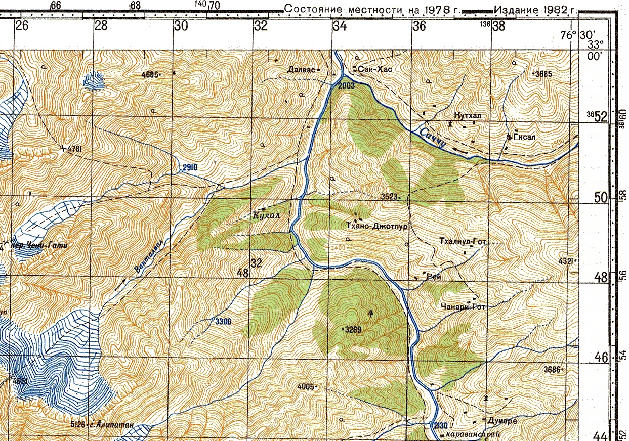
During the cold war the Soviet military secretly mapped the entire world using detailed topographic maps: Although focus was on…

Continue Reading →

Posted in: 8 Maps of the Himalayas, Alpine Bootcamp DIY

Alpine Hiking 8A – Olizane Maps

December 28, 2021 Peter Van Geit

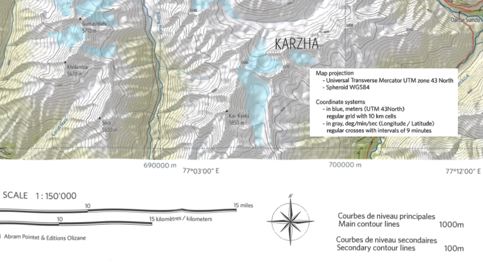
Welcome to “Chapter 8 – Map Sources” of the Alpine Hiking Bootcamp. In this chapter we’ll compare topographic maps of…

Continue Reading →

Posted in: 8 Maps of the Himalayas, Alpine Bootcamp DIY, Himalayan Maps Filed under: Himalayan Maps

Alpine Hiking 7E – Hiking Routes

December 27, 2021 Peter Van Geit

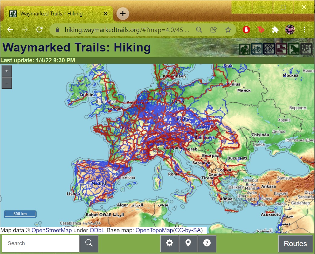
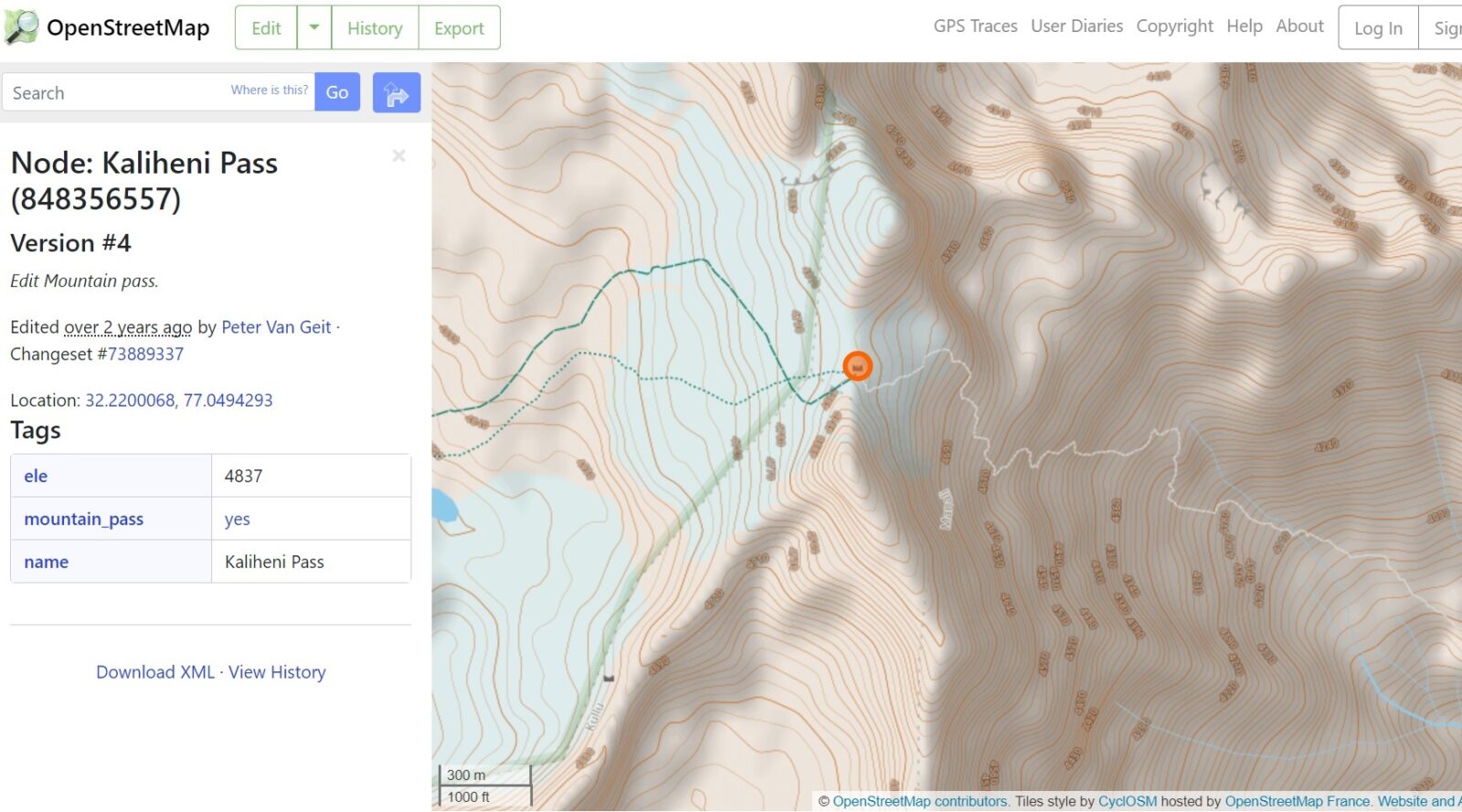
Congratulations in mapping your first trail in OSM! The trail is now shown in any OSM web client or mobile…

Continue Reading →

Posted in: 7 Open Street Maps, Alpine Bootcamp DIY, Open Street Maps Filed under: Open Street Maps

Alpine Hiking 7D – Trails

December 26, 2021 Peter Van Geit

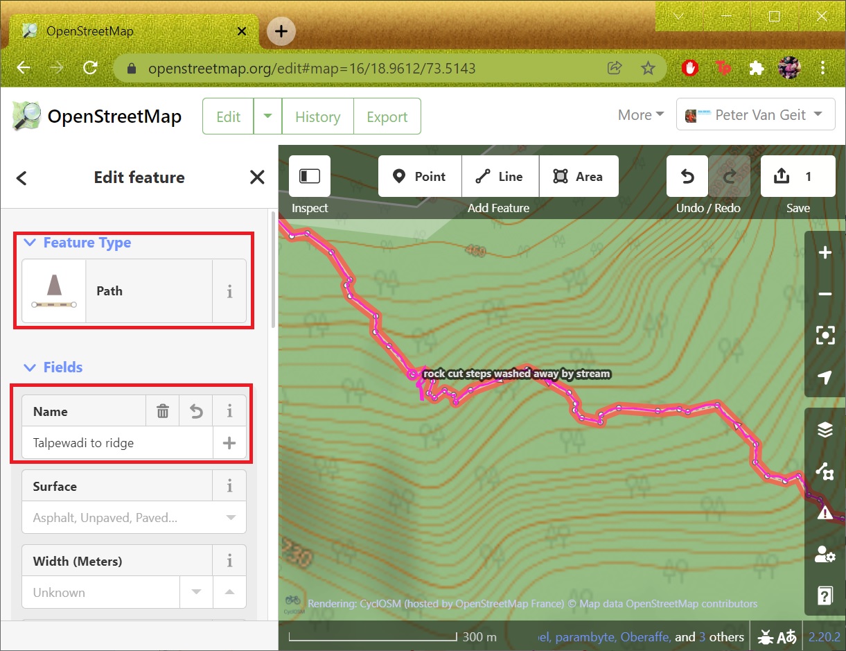
In the previous module we mapped human settlements based on an external geo-referenced data set. In this module we will…

Continue Reading →

Posted in: 7 Open Street Maps, Alpine Bootcamp DIY, Open Street Maps Filed under: Open Street Maps

Alpine Hiking 7C – Settlements

December 25, 2021 Peter Van Geit

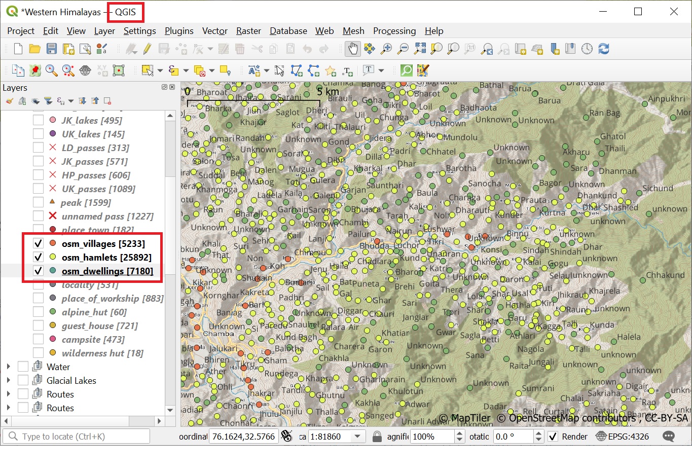
As mentioned in earlier chapters, human settlements are important base points for the alpine style hiker (food supply, night shelter,…

Continue Reading →

Posted in: 7 Open Street Maps, Alpine Bootcamp DIY, Open Street Maps Filed under: Open Street Maps

Alpine Hiking 7B – OSMAnd

December 24, 2021 Peter Van Geit

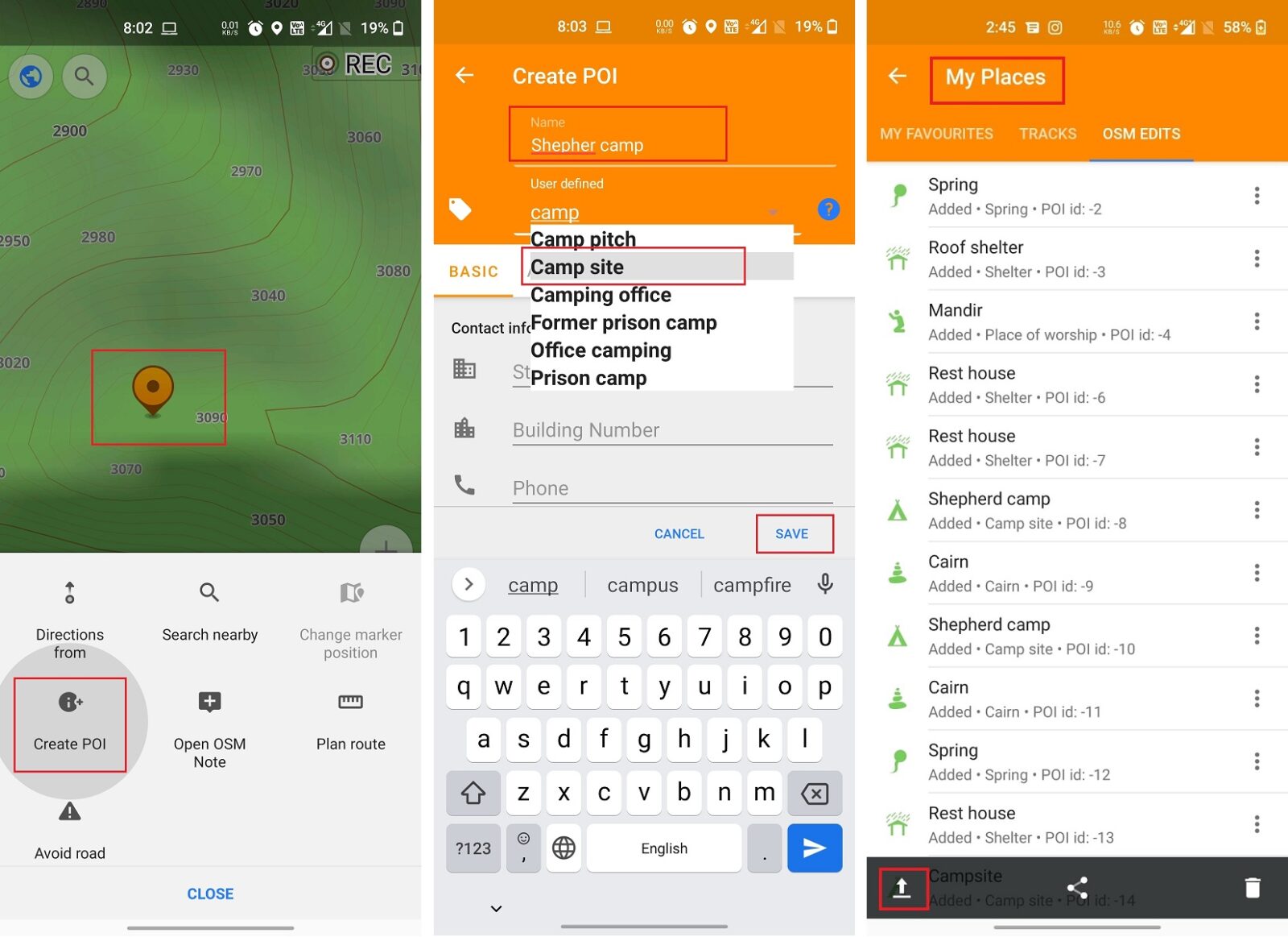
In module 2 we explore the various ways to contribute to Open Street Maps through the mobile app OSMAnd: Adding…

Continue Reading →

Posted in: 7 Open Street Maps, Alpine Bootcamp DIY, Open Street Maps, Ultra Journeys Filed under: Open Street Maps

Alpine Hiking 7A – Getting Started

December 23, 2021 Peter Van Geit

Congratulations on completing the first 6 chapters of the Alpine Hiking Bootcamp. You now mastered the basic concepts including planning…

Continue Reading →

Posted in: 7 Open Street Maps, Alpine Bootcamp DIY, Open Street Maps Filed under: Open Street Maps

Alpine Hiking 6F – Maptiles

December 22, 2021 Peter Van Geit

In this module we will export the Survey map with contours in maptiles format which can be used for offline…

Continue Reading →

Posted in: 6 GIS, Alpine Bootcamp DIY Filed under: GIS

Post navigation

Page 19 of 92
← Previous 1 … 18 19 20 … 92 Next →
  • Home
  • Blog
  • About
  • Courses
  • Himalayas
  • Maps
  • Journeys
  • Sitemap
  • Home
  • Blog
  • About
  • Courses
  • Himalayas
  • Maps
  • Journeys
  • Sitemap
Copyright © 2019 UltraJourneys - Supported by dreams