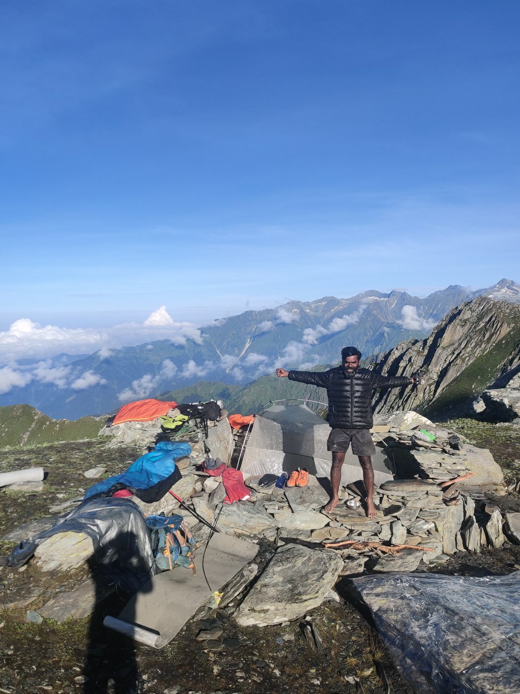
After a freezing cold night at the Dehnasaur lake at 4300m altitude we wake up to blue skies and a stunning view on the surrounding Dhauladar ranges above the Barot valley below. My sleeping bag is wet due to the condensation of the body heat inside my bivy. We open up everything to dry it under the sun as we pack up and finish our morning duties.
Dehnasaur lake is surrounded by sharp rising rocky ridge lines which seem impossible to cross at first sight. We initially descend over the boulders below the lake through which the Lamadugh stream originates. After a short while we see a small opening on the ridgeline where we attempt to cross over on our way to the neighboring Sari pass. The pass connects the beautiful Lug and Barot valleys between Kullu and Kangra districts.
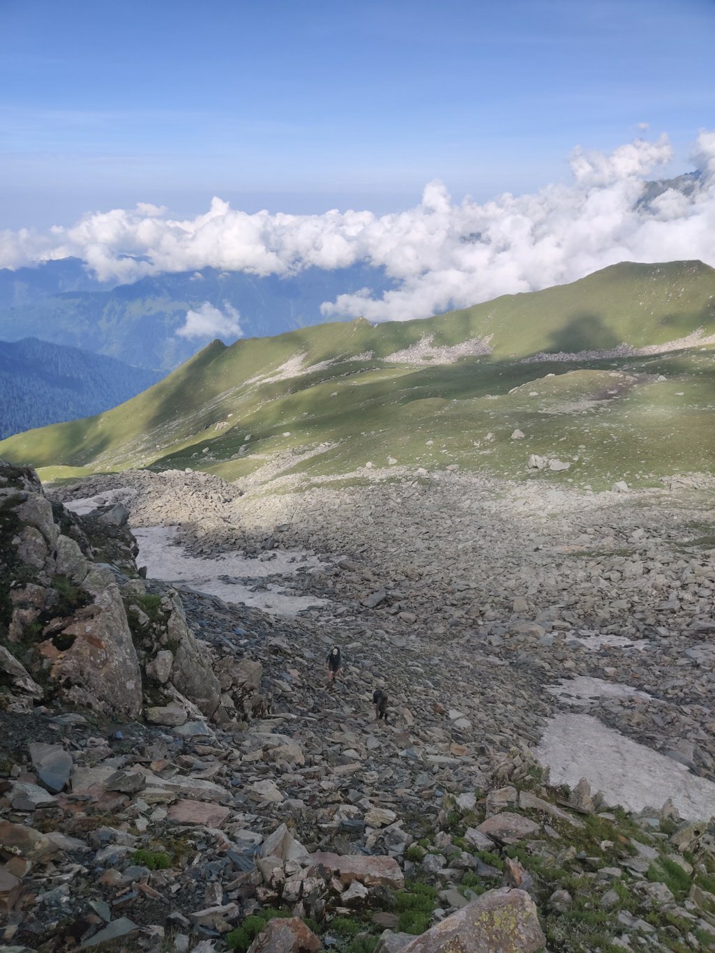
We climb up steeply over rocks and boulders to the top of the ridgeline eager to see whether there is a way across. We reach the top and see the meadows on the other side. We climb across the narrow ridge to initially descend steeply and then contour through the meadows below towards the main ridgeline which separates Lug and Barot valleys hoping to hit the Sari pass after a while.
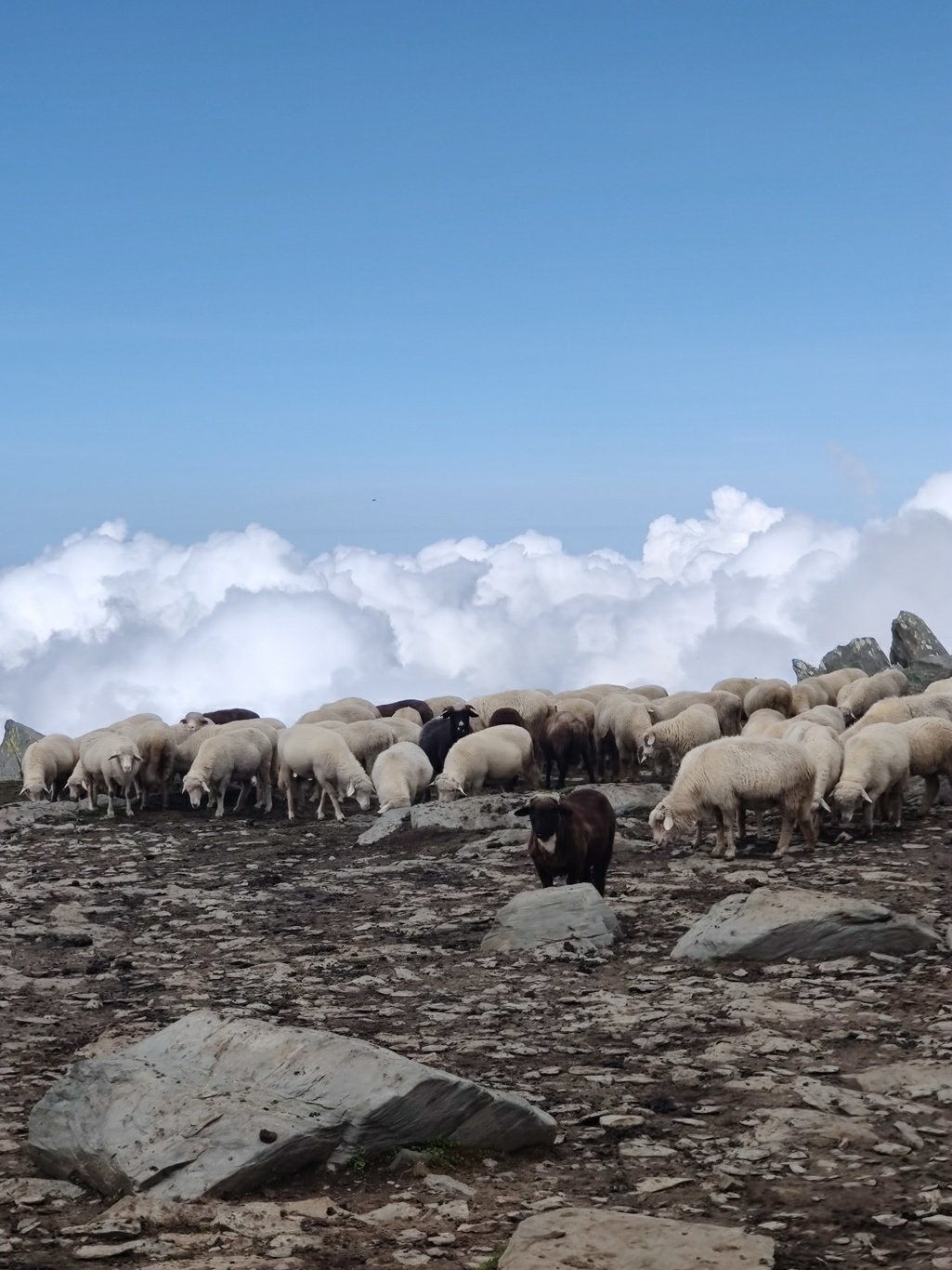
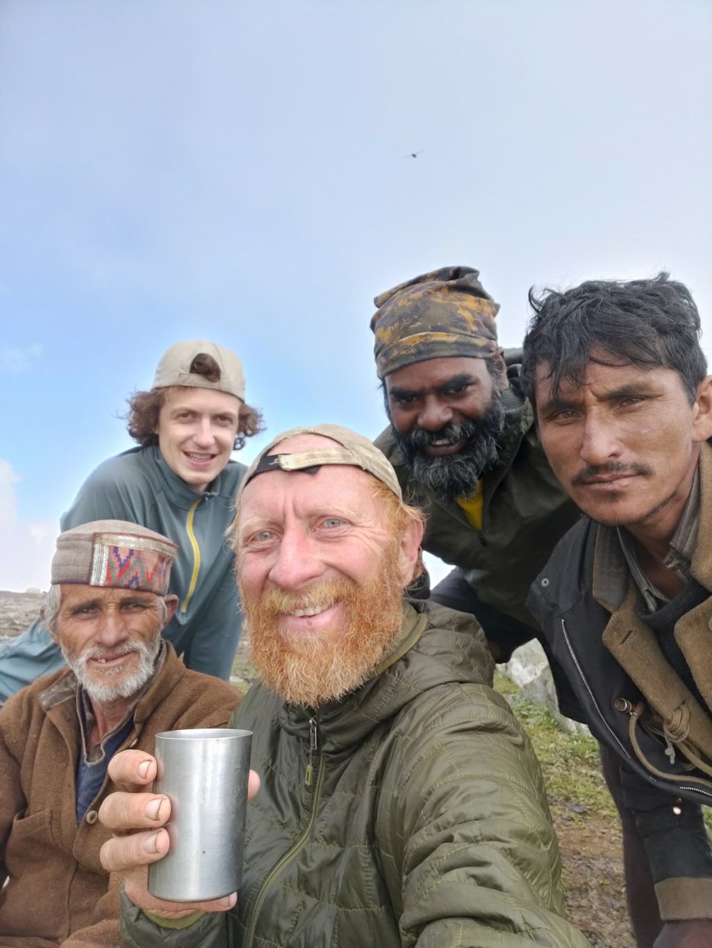
A while ahead we hear the sound of sheet and goats pointing to the presence of shepherds nearby. We find their shelter on top of the ridge line and initially assume we reached the Sari pass. The shepherds – as usual – offer us a hot cup of chai with fresh goat milk which we greatly accept as we did not yet have our breakfast. The sheep grazing below the clouds is a marvelous sight to behold.
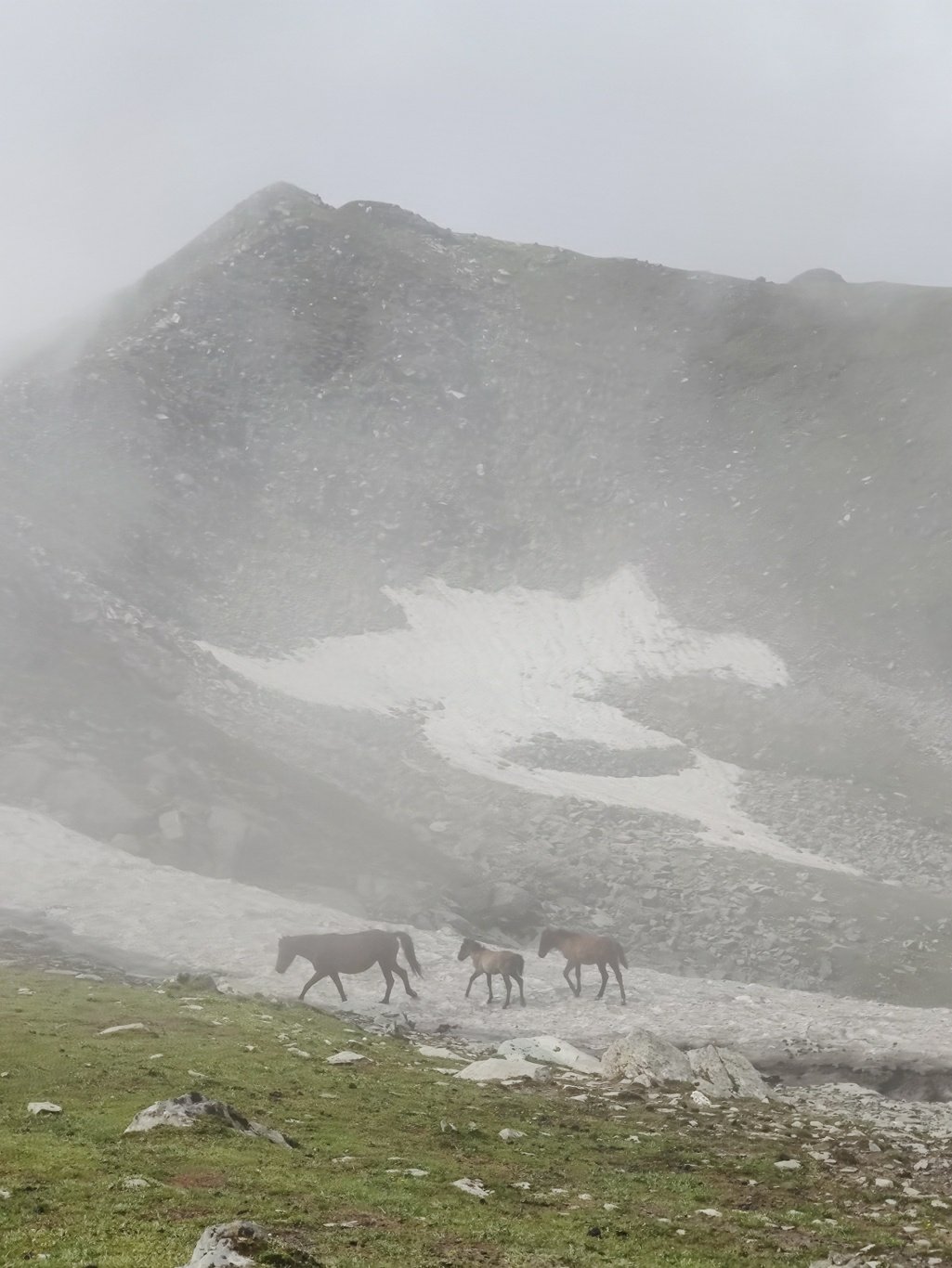
We also meet a group of locals who are putting up metal sign boards to direct pilgrims on the right track between the Sari pass and the Dehnasaur lake. After I check the map and figure out that we have not yet reached the Lohardi Nalla valley which originates from the Sari pass we continue our way further down the ridge line. We see a couple of horses running freely which might belong to the shepherds to carry food and gears while returning home at the end of summer.
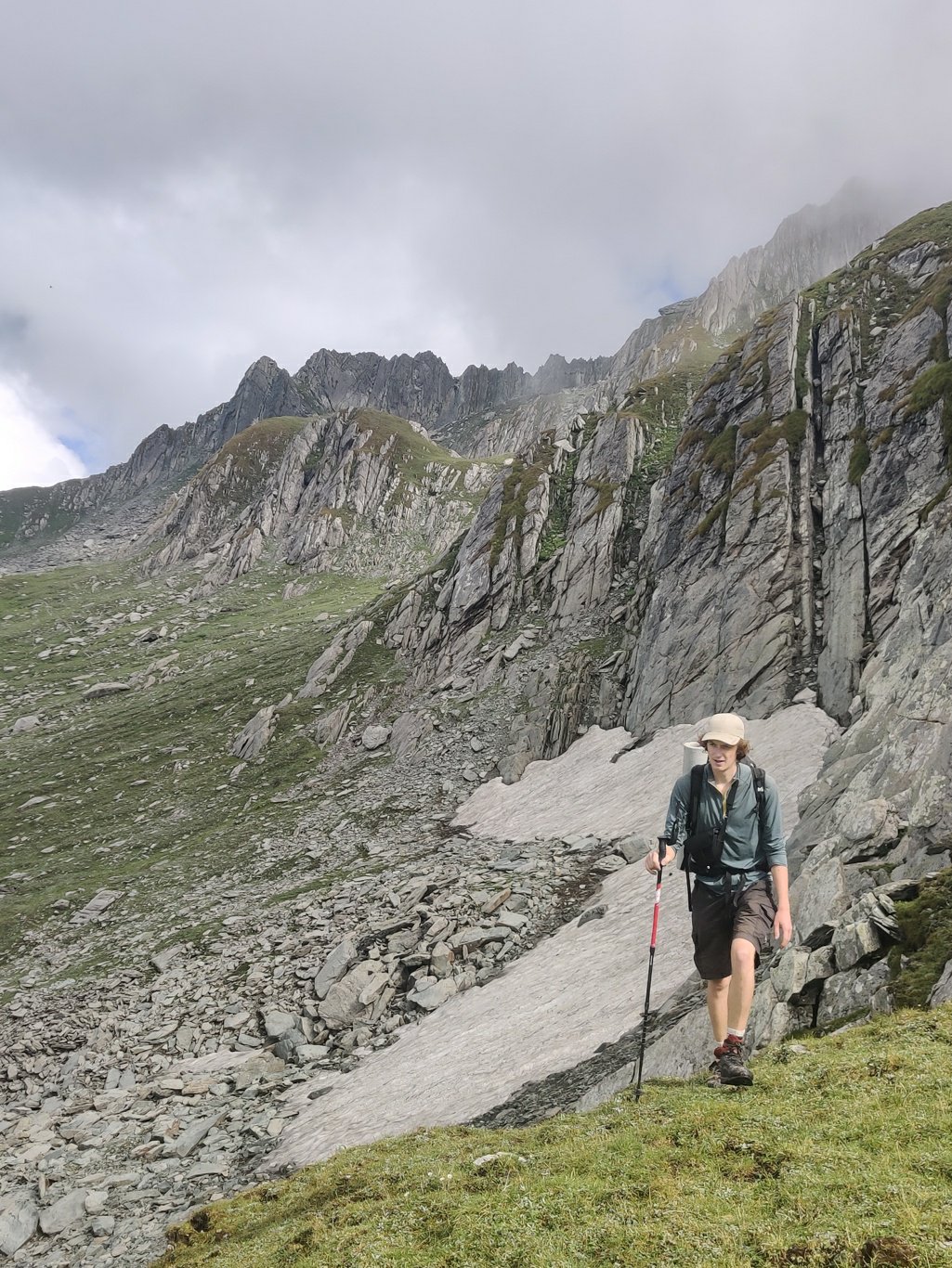
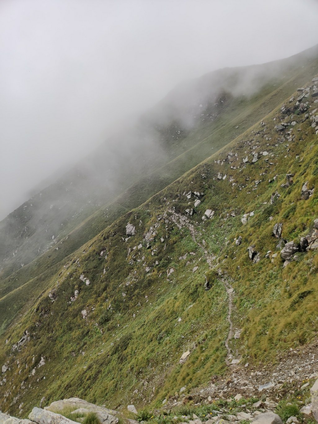
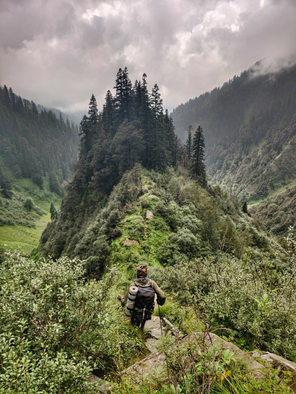
The trail now dips steeply down from the ridge line into the Lug valley. Probably there is no direct connection to the Sari pass across the top ridge itself. Lucky I had done my homework and marked the trail on the satellite map in order to stay on the right track. After descending the trail proceeds right and contours high above the Lug valley straight towards the Sari pass. Late morning the fog returns and visibility reduces again making it hard to orientate ourselves.
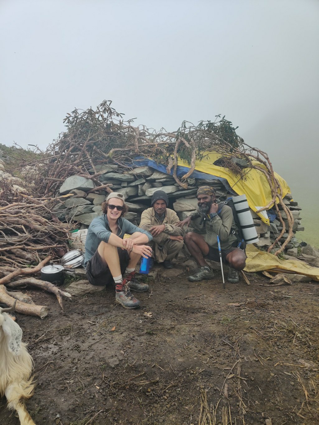
I continue to cross check our location on the offline maps on my phone and steer the team towards the probably location of the Sari pass. Near to the pass we meet yet another shepherd in a nice rock shelter covered with a tarp sheet. The shepherd has collected lots of bushes from nearby to dry and use as firewood to cook food. The sheep and dogs chill out around the shelter seemingly in no mood to graze the surrounding meadows during this misty weather.
I finally recognize the Sari pass further again as a small lake appears which I recognize from my previous year crossing in 2018. We now descend – initially steeply – through the meadows into the Barot valley following the Open Street Maps trail on my phone. After a while we hit a small ridge where a clear trail starts to appear. From here a steep descend follows into the Lohardi Nalla valley below.
As we descend to lower altitudes the fog clears up and we get mesmerizing views on the valley below. The narrow ridge line seems to descend to the junction where two side-valleys meet. Near this junction we reach a flat, open valley where we find a couple of shelters used by cattle herders from the village. Last year I set up a camp here on my way up to the Sari pass. 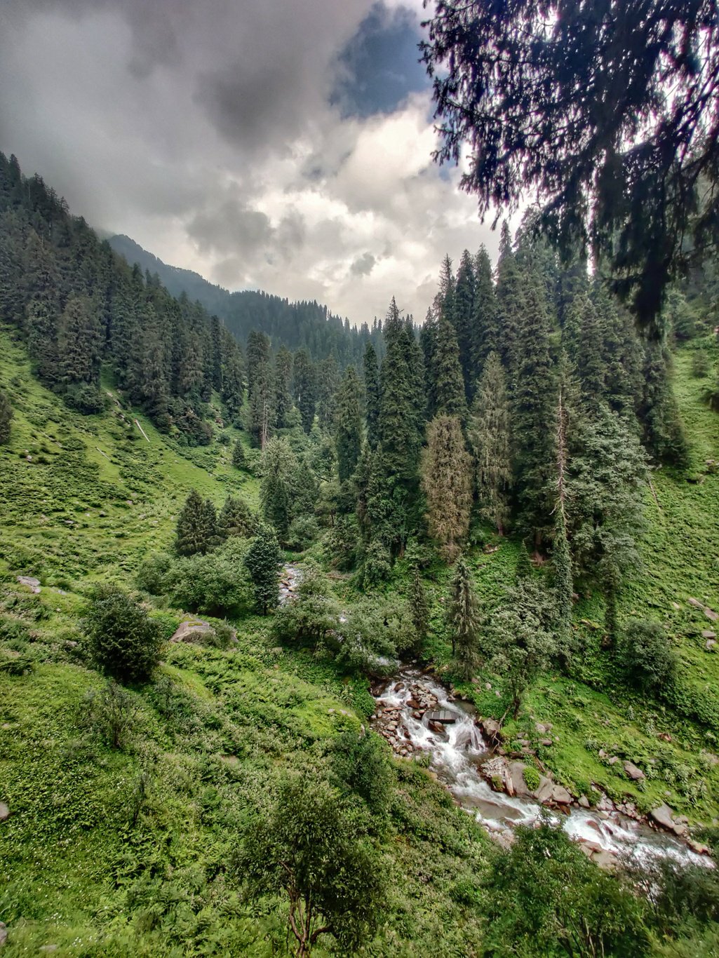
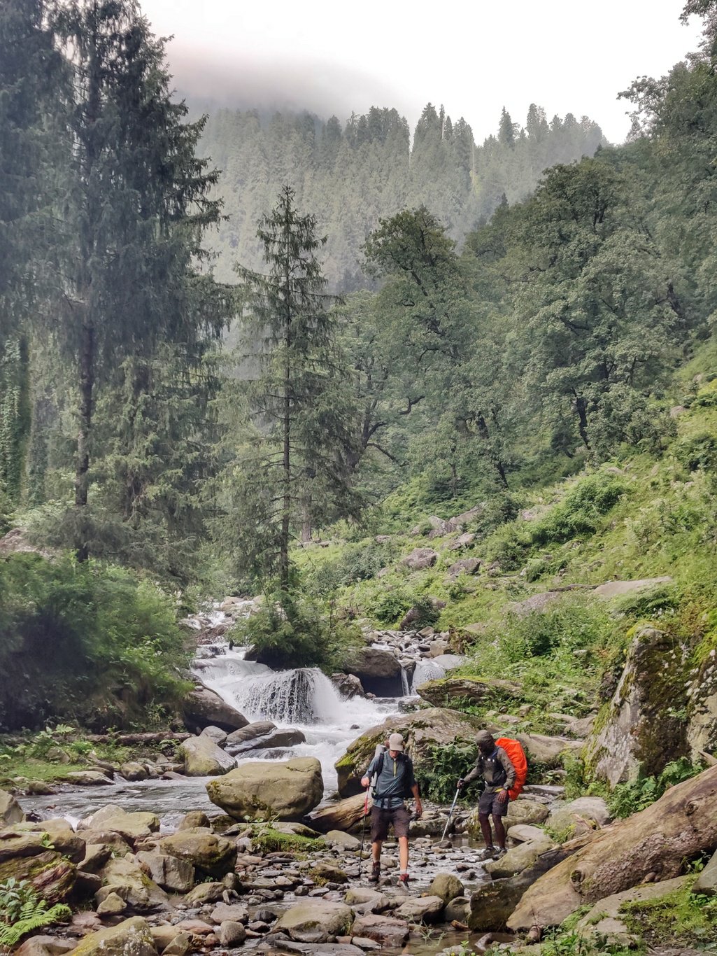
The sight of the Lohardi Nalla flowing through the lush green valley dotted with tall pine trees is a sight to behold. We now cross a make shift bridge to the right side of the stream which has already become quite turbulent. A narrow mud trail climbs up on the right side of the valley above the stream through beautiful pine forest.
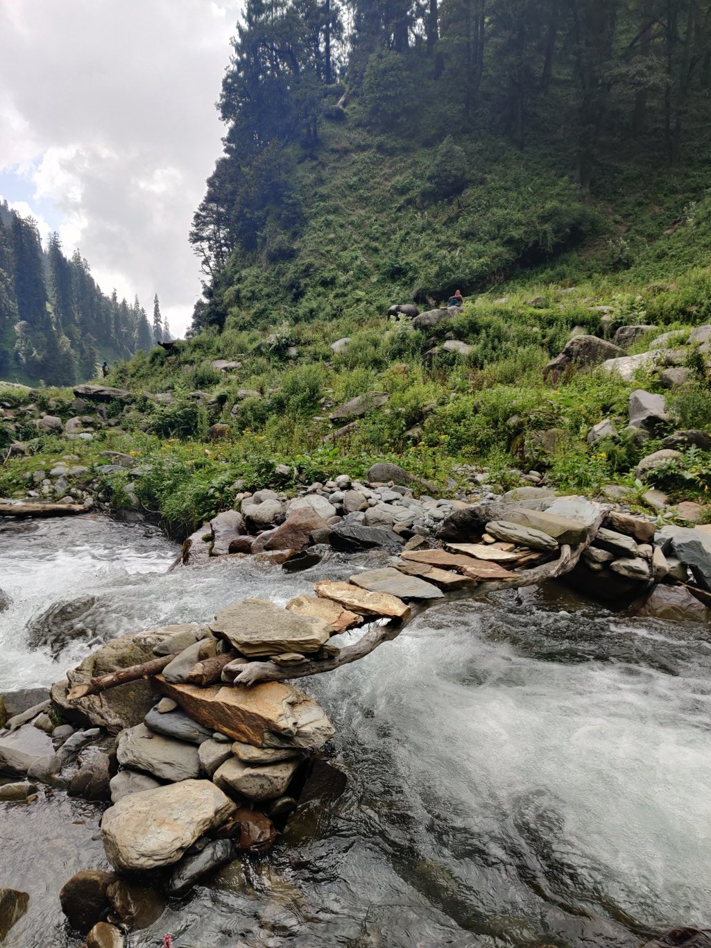
A little while later we descend back into the valley and we cross the Lohardi Nalla using a proper bridge where a clear, wide path now continues along the left side of the stream. The valley flattens out and becomes wider as we continue our way downstream. High above we see dark clouds embracing the upper ranges spelling bad weather for the shpeherds.
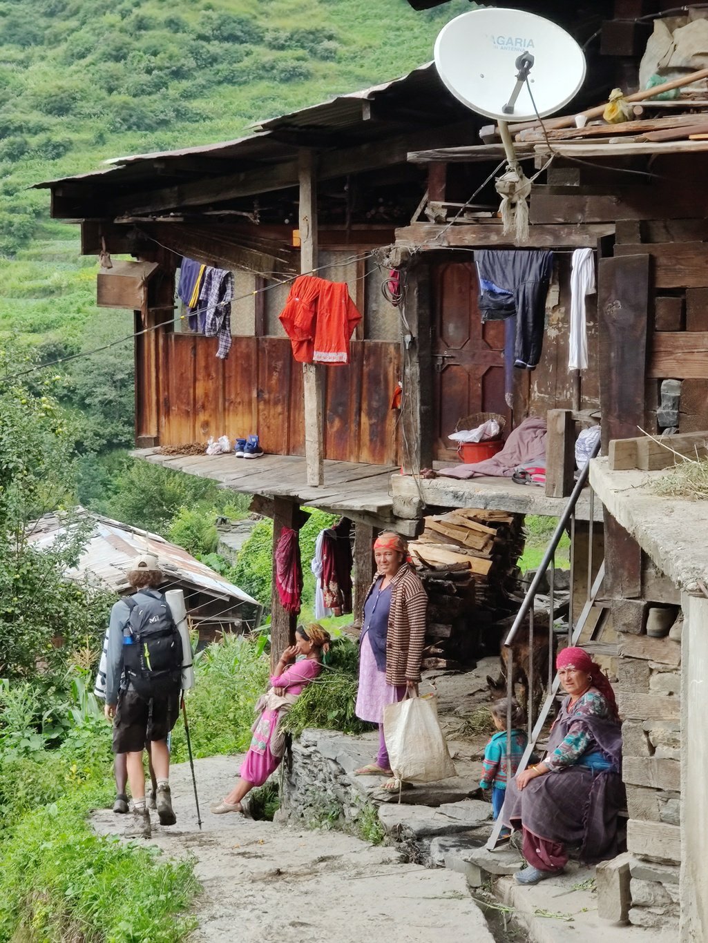
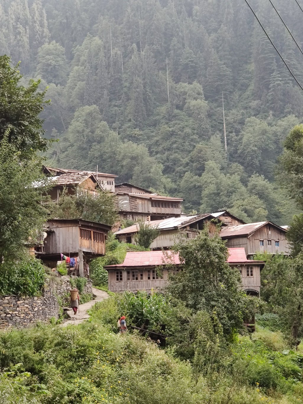
The trail crosses again to the right side and then climbs up to the first hamlet of Anderlimalah. A picturesque settlement of wooden homes where the villagers are engaged in harvesting and greet us in a friendly manner. From here it’s just 30 minutes to the main Barot valley where we reach our destination Lohardi.
The trail now drops back down again to the stream while offering beautiful views on the the hamlet nested above. On the way we pass by the local children who return from school in Lohardi. The kids in the mountains get their daily portion of health while commuting between home and school.
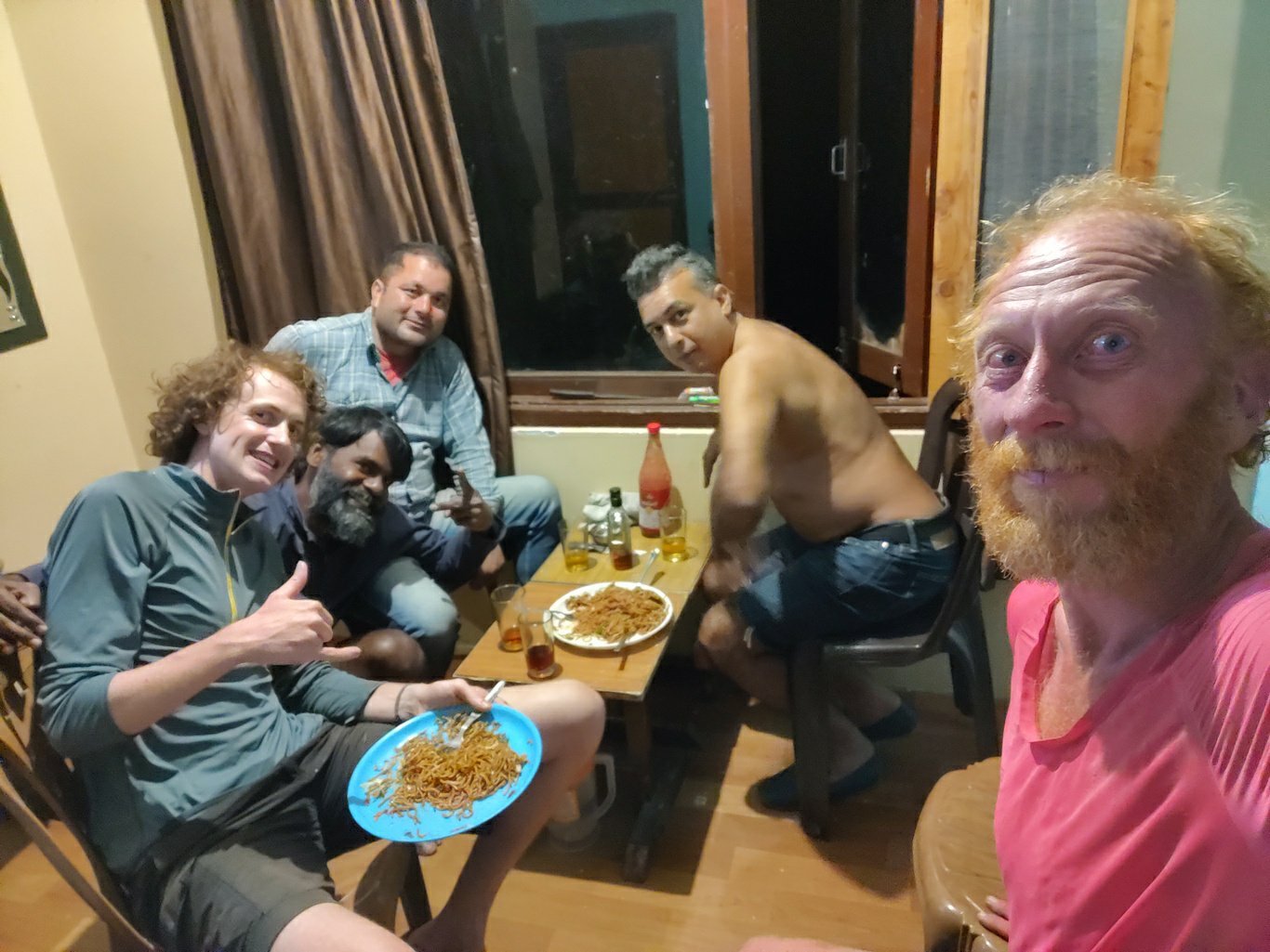
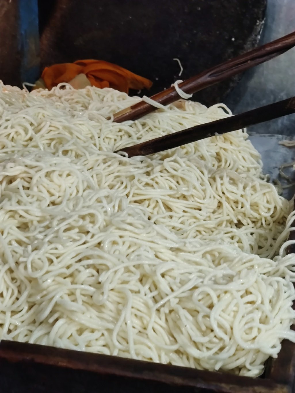
Being starved now after a zero-meal 3/4 day hike we barge into the first promising looking dhaba and order a few plates of chowmein noodles to raise our energy levels. We gobble up several plates of chowmein and momo’s until the cook is out of stock ;). The tummies are full and we now stroll peacefully through the quiet main while charging our phones for the next traverse ahead.
We meet up with Leo’s friend who dropped him at Lohardi all the way from Manali 2 days ago. He invites us for snacks and drinks in a nice guest house on the banks of the Ulh river over a game of soccer on the TV. We share stories and drinks before we hit our beds exhausted and sleep off peacefully below warm blankets while dreaming of the freezing, starry campsite at Dehnasaur lake the previous night.