
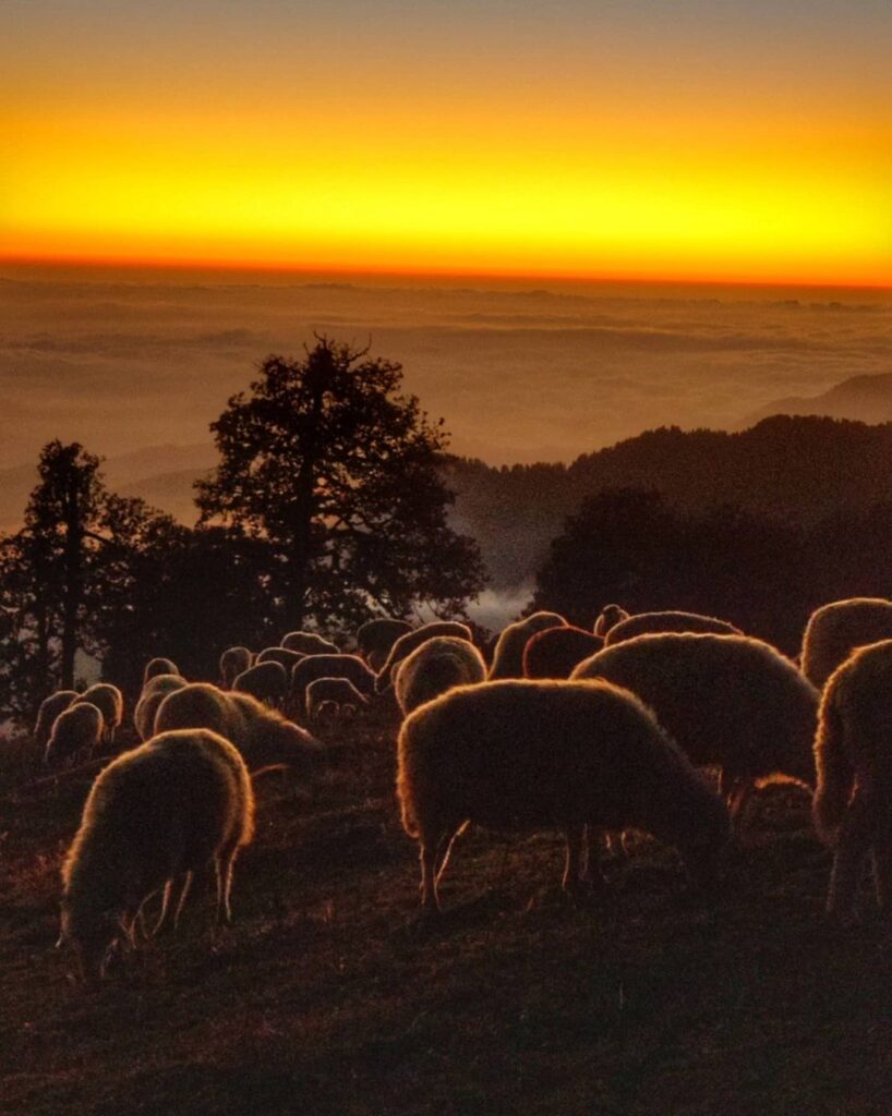
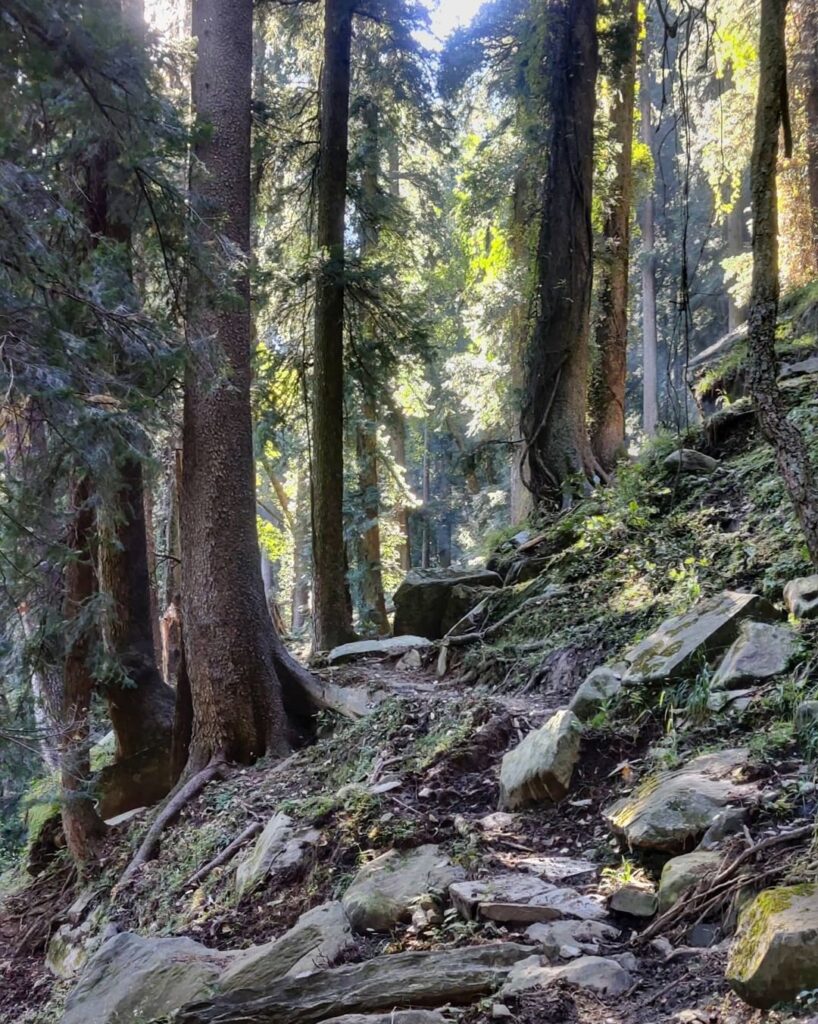
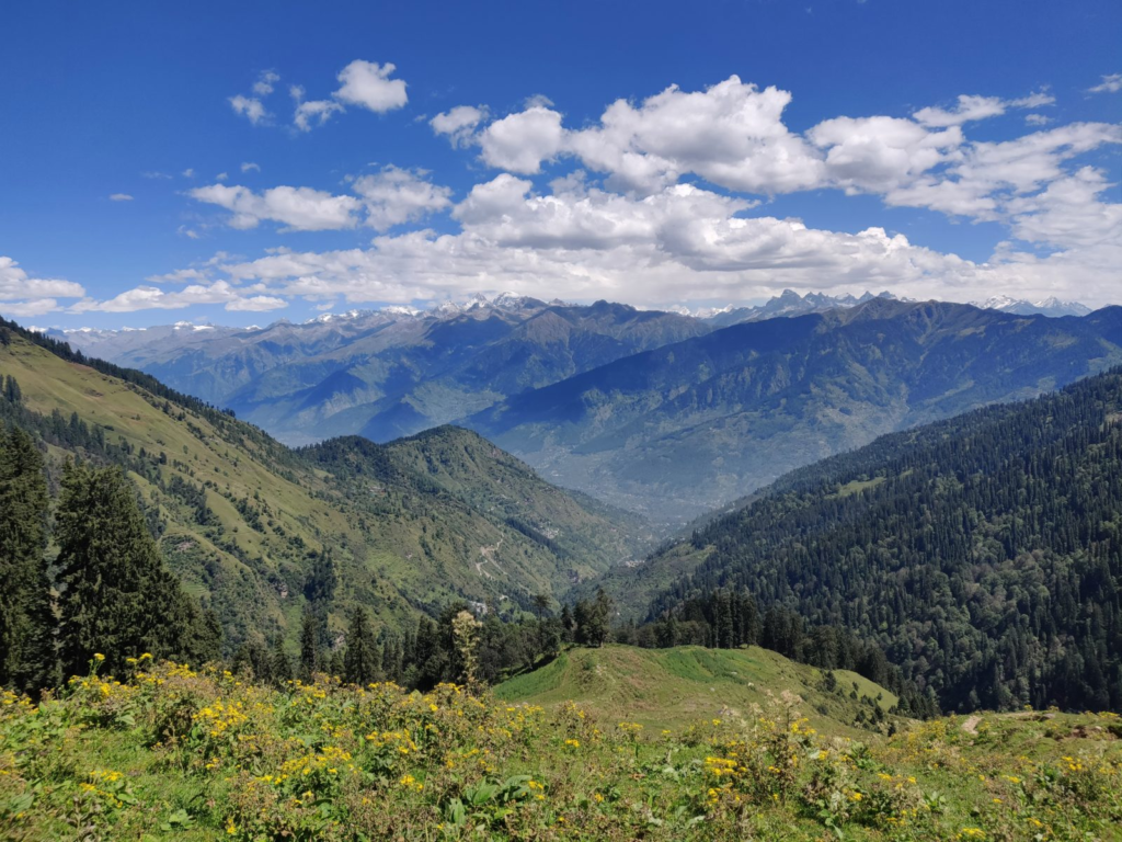
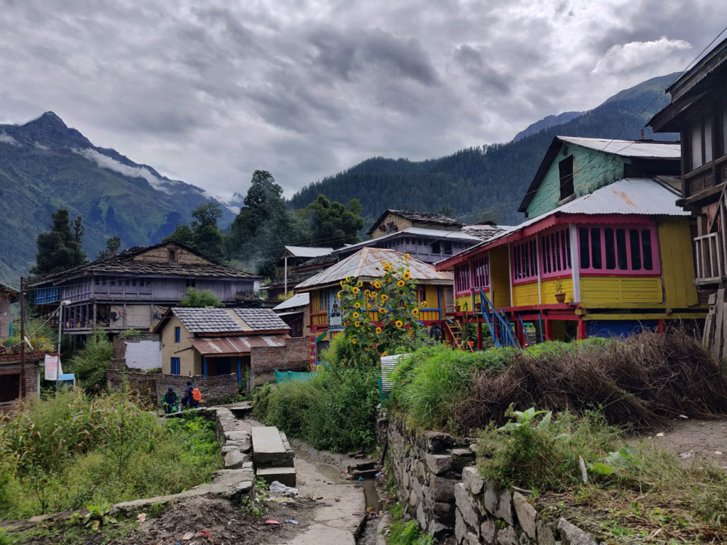
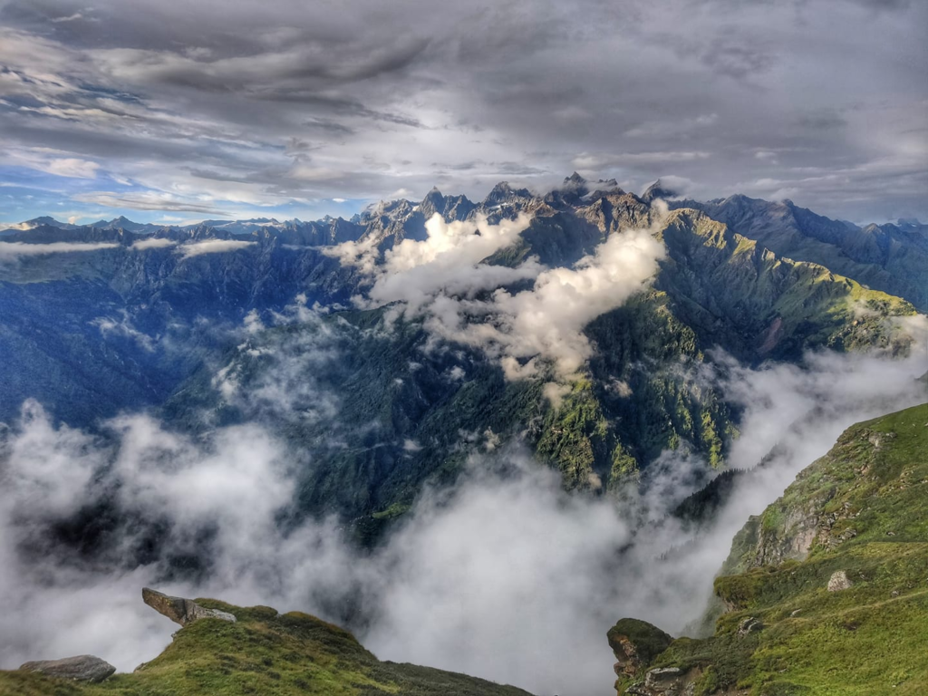
The Kullu valley is a well known destination for the outdoor community offering many beautiful hiking routes through pine forests and meadows on the slopes of the Beas river and main tributaries: Lug valley (Sarwari Khad), Barot valley (Uhl river), Paravathi & Malana valleys. There are both small local hikes connecting neighboring villages and temples within one valley suitable for beginners as well as longer traverses with more elevation gain for intermediate hikers across high ranges between valleys.
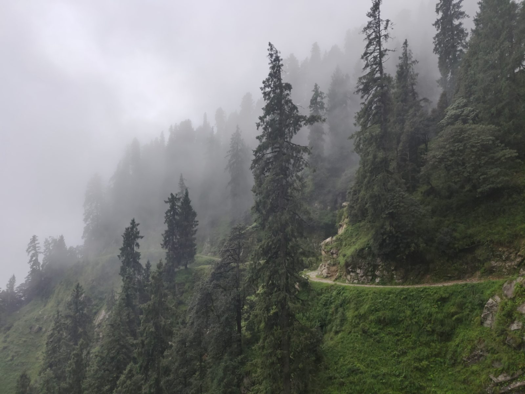
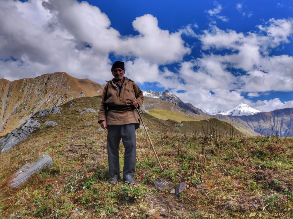
Chose the right route (altitude) during the right season. Higher altitude routes are off limits during winter due to snowfall. One can usually hike up to 2500m in winter (Jan-Feb), 3000-3500m in spring (Mar-Apr), 4000m in early summer (May-Jun) and higher up in late summer (Aug-Sep). Monsoon (July-mid Aug) is usually not recommended due to heavy rainfall / landslides / dangerous stream currents.
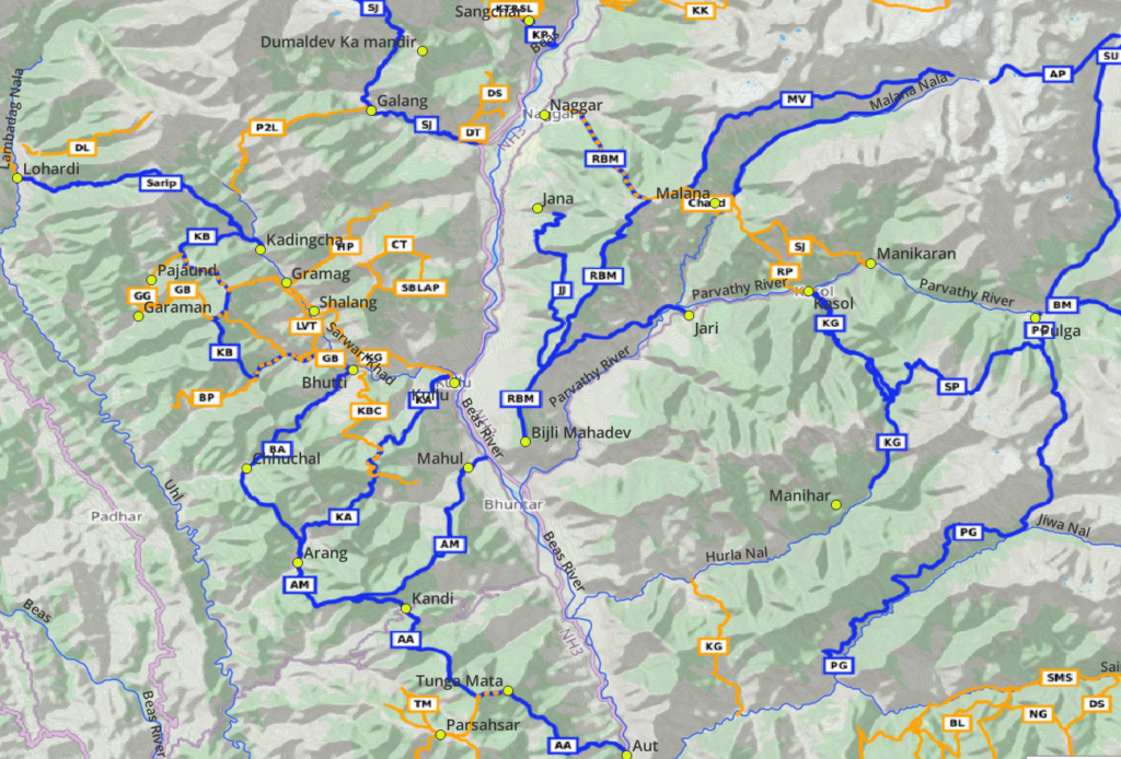
Major valleys
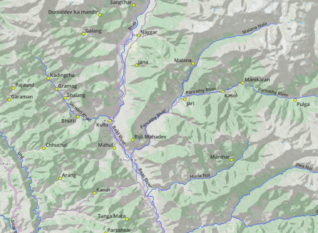
- Kullu valley – Beas river flows from North (Manali) to South (Kullu). Reference villages: Sangchar, Naggar, Jana, Mahul
- Parvathi valley – tributary of Beas river. Villages: Pulga, Manikaran, Kasol, Jari
- Malana valley – tributary of Parvathi river. Villages: Malana
- Lug valley – Sarwari Khad river, tributary of Beas river. Villages: Kadingcha, Gramag, Shalang, Bhutti
- Barot valley – Uhl river, tributary of Beas river. Villages: Lohardi, Pajaund, Garaman, Chhuchal, Arang, Kandi
- Hulra Nal – tributary of Beas river. Villages: Manihar
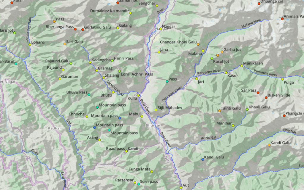
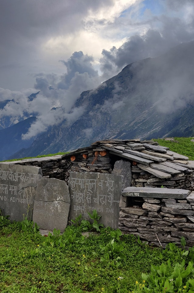
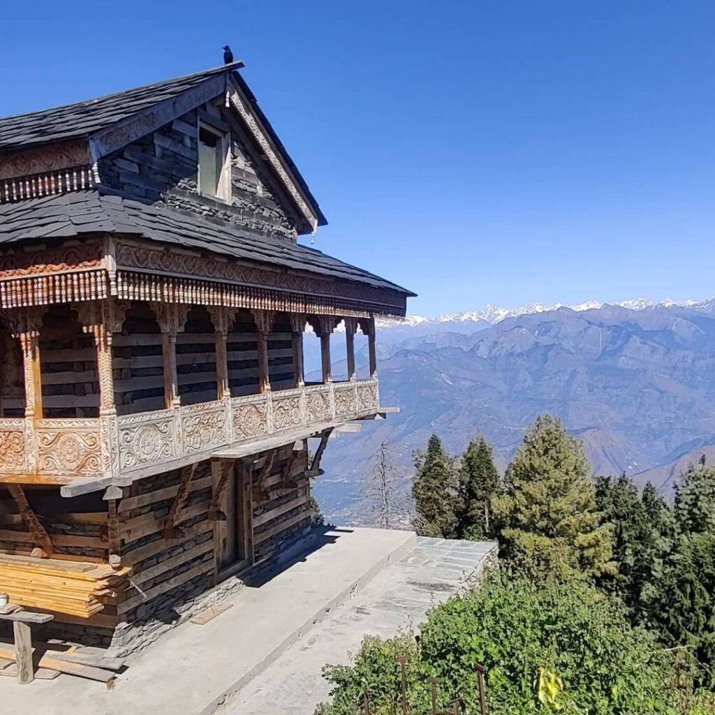
- Temples: Dumaldev ka mandir, Bijli mahadev, Tunga mata, Parsahsar
The hiking routes presented here connect various settlements in neighboring valleys above across in-between high ranges.
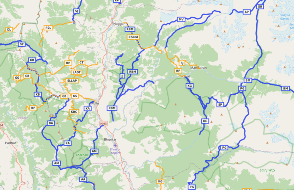
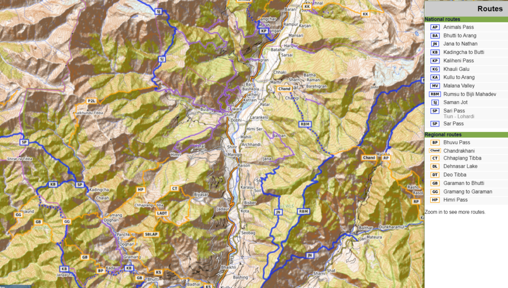
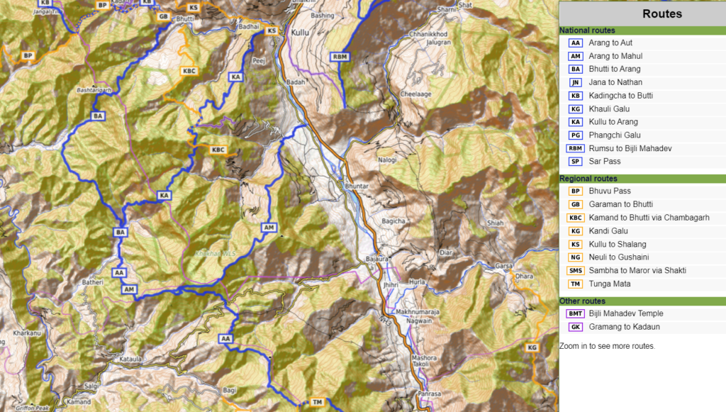
Hiking Networks
OSM hiking routes are categorized in 4 different networks:
- International (red) – long distance paths that cross several countries
- National (blue) – walking routes that are nationally significant and long distance paths
- Regional (orange) – walking routes that c ross regions and are regionally significant
- Local (purple) – small local walking routes
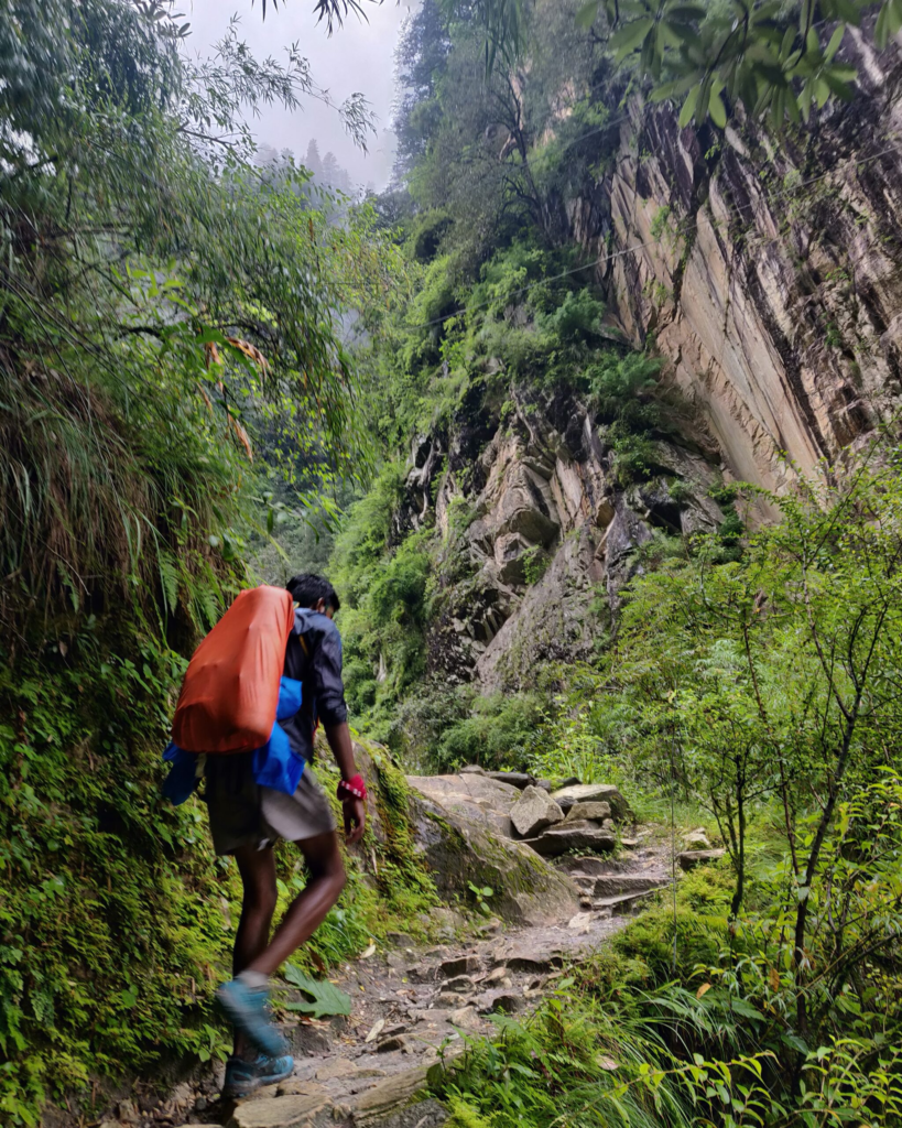
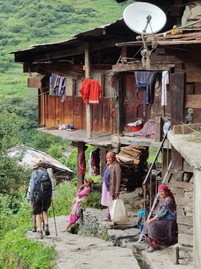
Multiple individual hiking routes can be connected in a longer continuous or circular traverses. Beginners usually cover around 10km per day while experienced hikers can easily complete around 20km. Villages and hamlets in between can be used for guidance, food supply, safe night stay and charging your electronics.
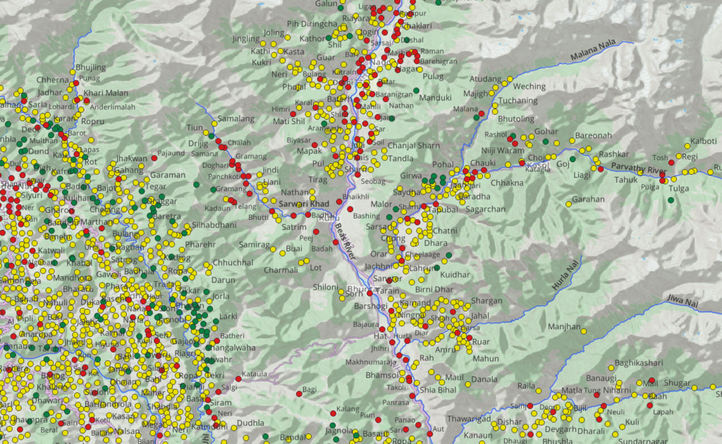
17 Local (day) hikes
The local hikes (purple) in the Kullu region are a perfect start for beginners to gain experience and build confidence before taking up more challenging day/multi-day regional hikes (orange). Local routes can be completed within (less than) one day so no camping / overnight gears are required. Distance and elevation gain (total climb) for each hike is given below.
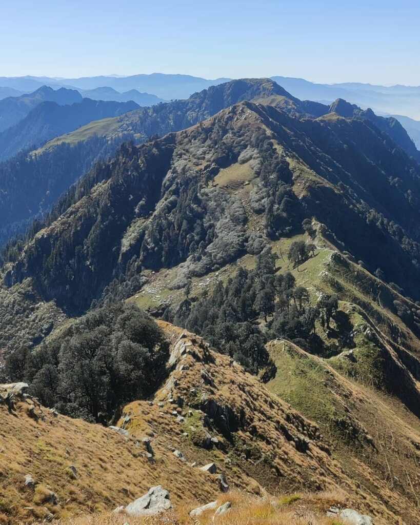
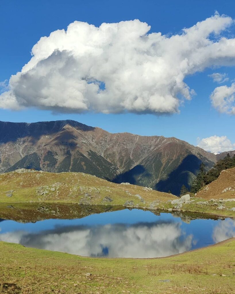
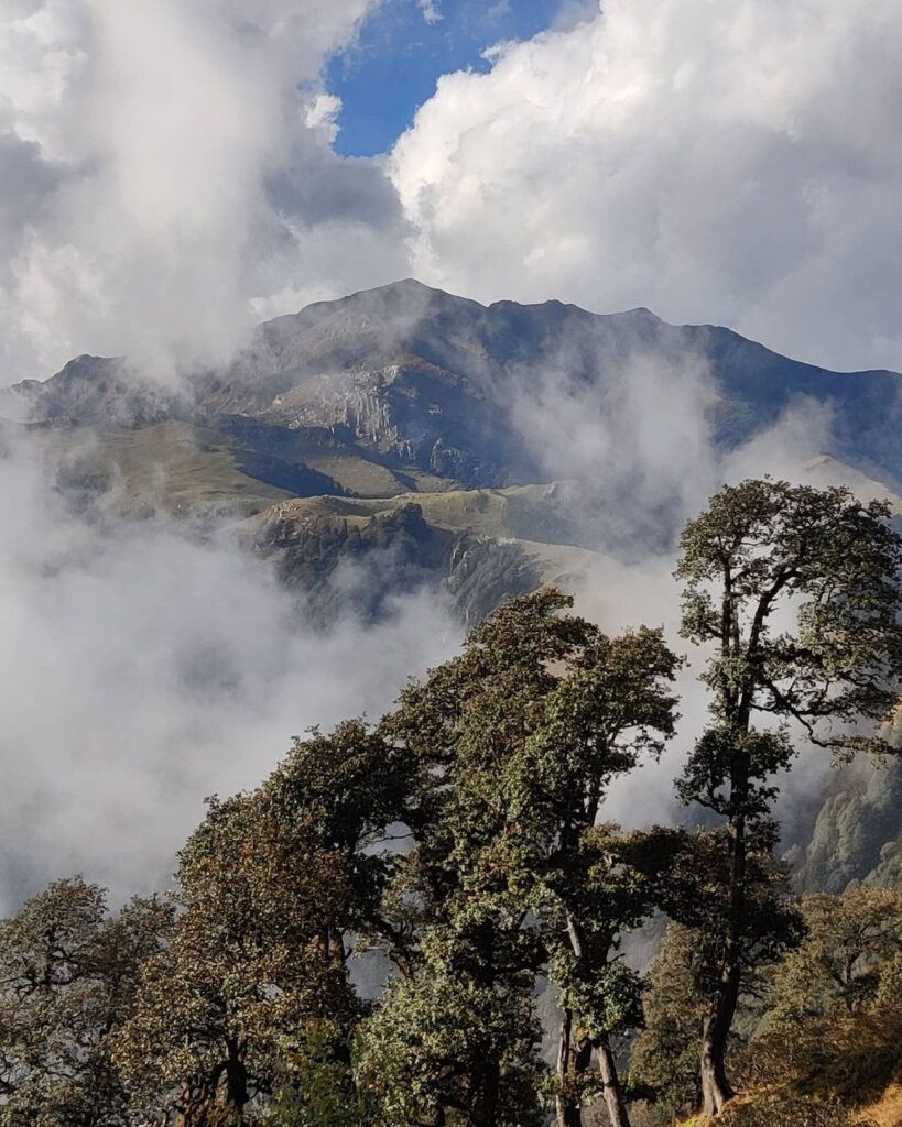
- Bijli Mahadev 7km / 1100m+ climbing up East 1100 meters out of the Kullu valley on the ridgeline between the Paravthi and Beas river valleys we come across the famous Bijli Mahadev temple at 2400m providing birds eye views on the surroundings
- Khais Dhar 3km / 400m+ from Lot hamlet (2350m) we gradually climb up West through pine forest above the Talingri Nala to Khais Dhar high above the Kutua Nala valley, tributary of the Lug valley (Sarwari Khad river)
- Crystal Waterfall 5km / 400m+ short hike from Soyal village on the East slope of the Kullu valley we climb into the Pakhnoj valley to the crystal waterfall at 2100m altitude
- Dumaldev Ka mandir 6km / 1400m+ from Diringcha village on the West slope of the Kullu valley we climb up through pine forest on the ridge between the Kanigathra Nal and Bijara Nal streams. On the top ridgeline we find the Dumaldev ka mandir (3350m) overlooking the surrounding the Phojal Nal, Sanjoin Nal and Kullu valleys
- Shim to Bhatkaral 5km / 800m+ from Shim village on the confluence of the Phojal Nal and Beas river we climb up Southwest on the ridgeline to the remote village of Phalain taking in scenic views on both valleys below
- Phalain Parbhi Loop 10km / 750m+ from Palain village we loop around the upper ridgeline through the Hamsushil protected forest providing beautiful views on the surrounding Phojal and Kullu valleys
- Sangchar 3.5km / 750m+ steep hike on the West slope of the Beas river valley (1600m) through apple orchards to the village of Sangchar (2350m)
- Sangchar to Shegli 4km / 530m+ scenic trail high above (West) the Kullu valley below the pine forest starting from Sangchar village (2350m) to Shegli in the Sanjoin Nal side-valley of the Beas river
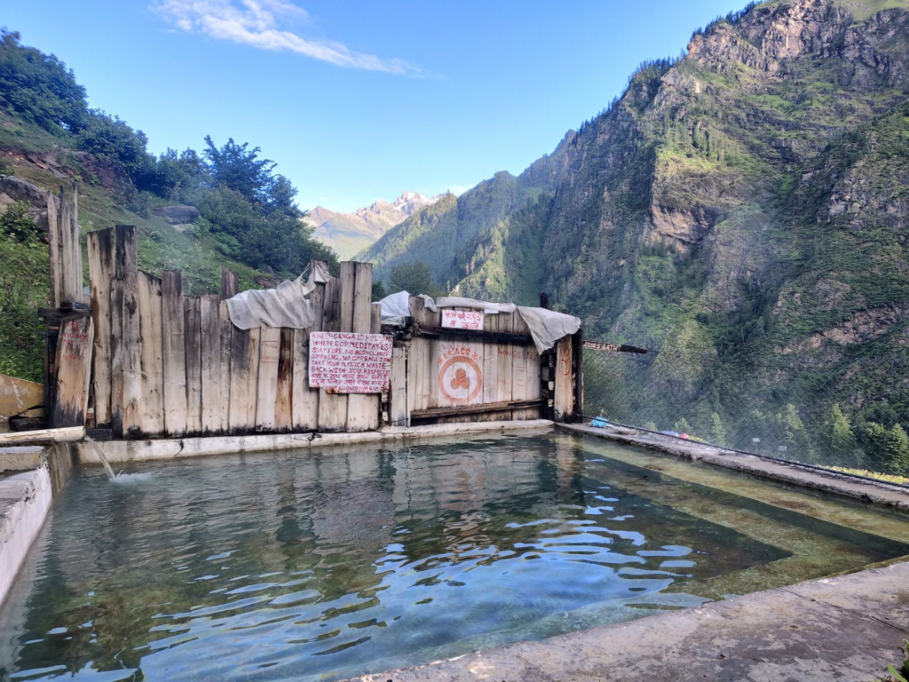
- Pulga to Khirganga 8km / 800m+ from Pulga village we contour East on the Southern slope above the Parvathi river through serene pine forest to the famous Khirganga hot springs at 2850m which offers ample camping and food facilities
- Khirganga to Barshaini 8.5km / 800m- returning from Khirganga we initially follow the same path till we cross the Parvathi river near Nakthan village where we proceed on the North slope above the river crossing the Tos Nal to Barsheni village
- Nathan to Jana 8km / 1350m+ hike up the East slope of the Kullu valley from Nathan village near Naggar in between the Nashala Nal and Machi Nal streams to 3200m altitude where we descend to Jana in the Ragoi Nal side-valley of the Beas river
- Pulag natural pools 1.5km / 120m+ a short flat hike from Pulag village in the Chakki Nal side-valley (East) of the Kullu valley to a number of pools along the stream
- Duwara to Bashkola 7km / 700m+ from Duwara on the confluence of the Phojal Nal and the Beas river we climb North out of the Kullu valley to Dachani – Tarashi and descend back into the Kullu valley to Bashkola
- Duwara to Shil 8km / 900m+ climbing up from Duwara on the West slope of the Kullu valley to Dachani – Tarashi – Rasogi into the Sanjoin Nal valley to Shil village
- Duwara to Galang 9km / 1150m+ a nice traverse on the North slope of the Phujal Nal side-valley of the Kullu valley we start from Duwara and gradually contour up to Bhunu – Meha – Dhimchin crossing over to the South bank of the Phojal Nal to Galang village
- Duwara to Tarashi 3.5km / 650m+ starting from Duwara yet another trail climbs up on the West slope of the Kullu valley to the village of Tarashi (2250m)
- Gramang to Karaun 9km / 750m+ a scenic traverse inside the Lug valley from Gramang on the West slope of the Sarwari Khad into a side-valley to the village of Karaun
18 Regional hikes
Once you have gained confidence in the local hiking routes you can try some of these mid-level hikes around Manali. Depending on your pace most of these routes can be completed as either day or multi-day hikes. Plan accordingly.
- Chandrakani 14km / 1400m+ famous hiking route starting from Naggar in the Kullu valley climbing up through pine forest and meadows high up above the Chakki Nal side-valley to cross over the Chandrakani pass (3650m) into the Malana valley, tributary of the Parvathi valley. Blog post Blog post 2
- Rasol pass 10km / 700m+ a nice continuation from Chandrakani we climb out of the Parvathi valley from Bhutoling Northeast across the Rasol pass (3250m) into the Parvathi valley to the village of Rasol and descend to Chhalaal and Kasol. Blog post
- Sujaini jot 15km / 1400m+ this route is same as previous but diverts at the Rasol pass climbing up East on the main ridgeline between Malana and Parvathi valleys till the Sujaini jot (3600m) where it descends steeply into the Parvathi valley to Manikaran. Blog post
- Kandi Galu 13km / 1150m+ from Dara in the Hurla Nal valley, tributary of Beas river we climb up South across the Kandi Galu (22250m) descending to Bekar in the Sainj river valley. Blot post
- Himri pass 11km / 1200m+ we climb up West from Himri village in the Shirir Gad tributary of the Beas river into vast alpine meadows with mesmerizing views on the Kullu valley below. Further up we enter forest crossing over the Himri pass (3250m) descending steeply along the Gramang Nal stream into the Lug valley (Sarwari Khad) to Gramag village. Blog post Blog post 2
- Lorhi Achhri pass 14km / 1600m+ parallel with the Himri pass we cross over from Biyasar on the West slope of the Kullu valley via a ridge between the Mandrol Nal and Babeli Nal across the Lorhi Achhri pass (3450m) descending via a ridgeline to Shalang in the Lug valley (Sarwari Khad).
- Kullu to Shalang 13km / 1500m+ scenic traverse contouring the North upper slopes of the Lug valley (Sarwari Khad) starting at Kullu via Chhurla – Khanipanchh – Pabonang – Shilagran – Liani and descend to Shalang village. Blog post
- Kamand to Bhutti 17km / 1500m+ starting from Bhuti in the Lug valley we climb South out of the Sarwari Khad river valley, cross over the Kutua Nala and Talingri Nala valleys to descend to Kamand in the Pah Nala valley, tributary of the Kull valley
- Bubbu Jot13km / 1200m+ starting in a side-valley of the Lug valley (Sarwari Khad river) at the village of Karaun we climb up along an old rock path to the Bhubbu pass (2900m) descending into the Bhubbu Nal valley, tributary of the Uhl river (Barot valley ). Blog post
- Chhaplang Tibba + Lohri Acchri pass 8km / 1500m+ from Biyasar in the Mandrol Nala valley (tributary of Beas) we climb up Southwest along the ridgeline to Chhaplang Tibba (731m). From here we can descend Southeast along the ridgeline to the nearby Lohri Acchri pass (3450m) separating the Mandrol Nal and Sarwari Khad valleys.
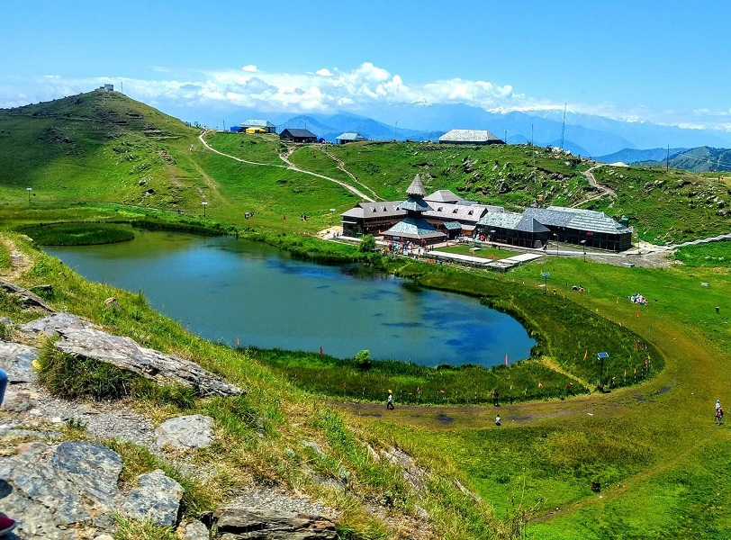
- Tunga Mata 12km / 1800m+ located on a 3000m high peak overlooking the Kullu valley, Shiri Gad, Chuli Nal valleys. The route starts at Bagi in the Uttarsal Khad valley climbing up East to Parsahsar lake and Northeast to Tunga Mata.
- Parasar temple 12km / 1800m+ and Parasar lake 16km / 1550m+ the Parsahsar lake & temple (2600m) is accessible via three routes: Manal in the Chuli Nal valley via Surn pass (East), Dyori in the Deori Nal valley (South) and Halgarh in the Uttarsal Khad valley (West). The temple overlooks the Beas river valley (South), Khoti Nala (South) and Chuli Nala valley (East).
- Phojal to Lug 14km / 2100m+ starting at Galang in the Phojal Nal valley we hike up West along a ridgeline above the Galang Nal valley to an unnamed pass (4220m) near Khalkundu Tibba (4280m) and descend South into the Lug valley (Sarwari Khad). Nearby Gorlatinu Galu (4300m) and Bherianga pass (4100m) (both still unmapped) give access to Ghorlatinu Nala, origin of the Lambadag river, tributary of the Uhl river. Blog post
- Gramang to Garaman 15km / 1700m+ connecting Gramang in the Lug valley (Sarwari Khad) with Pajaund and Garaman in the Pajaul Nala (tributary of Uhl river) via the Pajaund Galu pass (3250m). Blog post
- Garaman to Bhutti 19km / 1500m+ continuing the above route from Garaman we hike up East through the beautiful Julang Nala valley (tributary of Pajaund Galu) to the main ridgeline between Lug and Barot valleys and descend to Karaun village in an unnamed side-valley of the Sarwari Khad river. Blog post
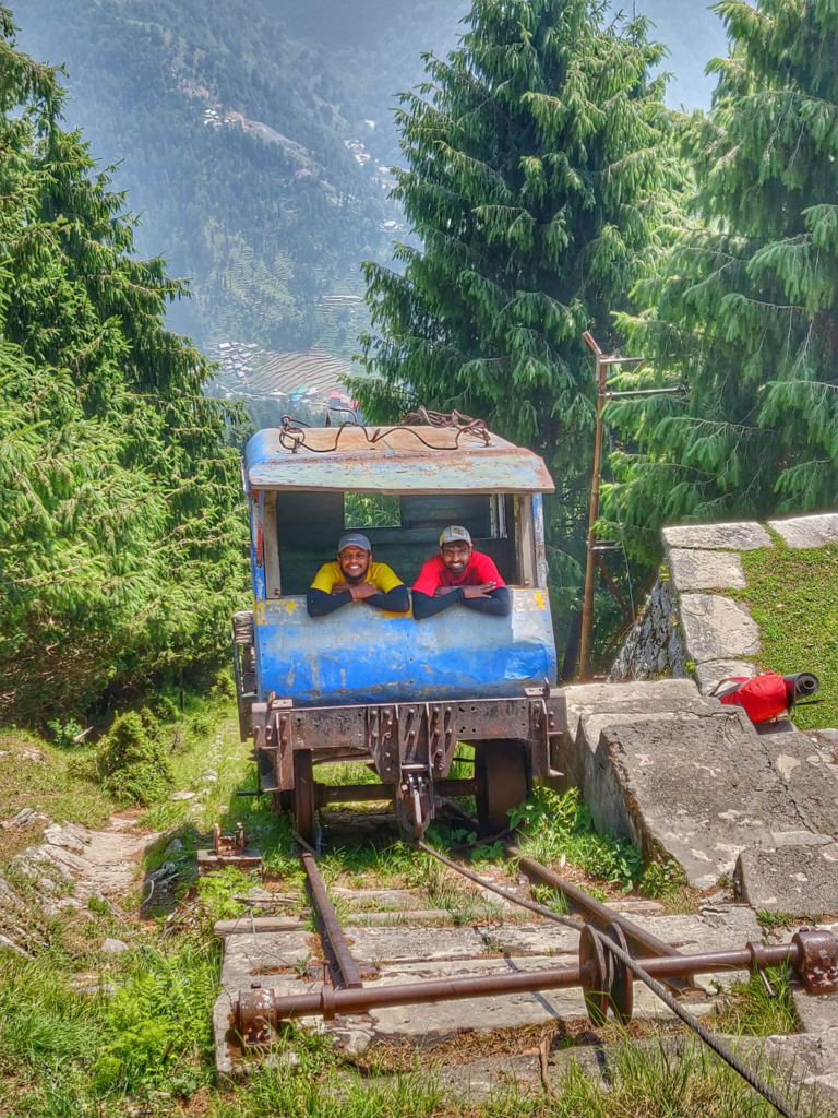
- Lohardi to Joginder Nagar from Lohardi in the Uhl river valley we climb up Southwest across a disused pully track to a winch station on top where we proceed Southeast via a narrow gage track along the ridgeline to a 2nd winch station from where we descend Southwest to Joginder Nagar in the Kangra plains. Blog post
- Chinna pass 19km / 2400m+ from Bir we climb up Northeast along the ridgeline to Billing and contour above the Gau Nala across the Chinna pass (2750m) contouring North to Rajgunda in the Uhl river valley. Blog post Blog post 2
- Nohru pass 11km / 950m+ from Kothikodh in the Uhl river valley we climb up Northeast to the Norhu pass (3250m) descending East into the Bardhar Nala turning Southeast to Lohardi in the Lambadag Nala valley. Blog post
12 National Hikes
Once you have gained sufficient experience on several regional hiking routes and you feel confident enough you can try some of these longer distance hikes around Kullu with more elevation gain and to higher altitudes. These are multi-day hikes which require proper planning.
- Sari pass 21km / 2150m+ an interior pass connecting the Lug and Barot valleys. from Kandincha and Tiun in the Sarwari Khad valley we hike up Northwest to the Sari Galu (3720m) and descend via the Sari Nal valley to Lohardi in the Lambadag river valley, tributary of the Uhl river. Blog post Blog post 2 Blog post 3 Blog post 4
- Rumsu to Bijli Mahadev 30km / 1800m+ partly overlapping with the Chandrakani pass hike, this route starts at Rumsu in the Kullu valley and climbs up above the Chakki Nal valley to the Chandrakani pass. From here we descend Southwest along the ridgeline separating the Malana/Parvathi and Kullu valleys till we reach Bijli Mahadev at the far end.
- Malana valley 35km / 1700m+ a lesser know but very beautiful traverse through the upper Malana valley. Starting from the Chandrakani pass above Malana village we do a long traverse (East) through the upper alpine meadows of the Malana valley till we reach the origin of the valley (connected via the Animals pass to the Tosh valley – unmapped). Here we take a U-turn and return West via a path above the Manala river towards the hydro project near the road head of the valley. Blog post
- Sar pass 33km / 2600m+ a popular route along the upper reaches of the Parvathi valley. We start at Kasol where we hike up the Garahan Gad side-valley till the vilalge of Garahan to finally climb up Northeast to the Sar pass (4100m) between Koru Nal and Dudhikhol Nal valleys. We contour East across the Biskeri slide ridgeline before descending South to Pulga village back into the Parvathi valley crossing Chaksi Nal and Garthi Nal side-valleys. Blog post
- Khauli galu 18km / 2050m+ a lesser known pass (3450m) used by shepherds connecting Kasol in the Parvathi valley and Manihar in the Hurlna Nal valley. A parallel route connecting both valleys goes through the Tainti Galu pass further West. Blog post
- Jana to Jari 27km / 800m+ a beautiful traverse from the road-head near Jana in the Beas river valley (popular known for Jana waterfall) along a prolonged jeep track running high above the Kullu valley through serene pine forest across the ridgeline leading to Bijli Mahadev and contouring high above the Parvathi valley through meadows until we descend to the village of Jari.
- Saman Jot 14km / 2500m+ a lesser known route from Galang in the Phojal Nal valley (tributary of Beas river) climbing up through the Joling Nal to the ridgeline above and contouring high above the Bijara Nal till the Saman jot pass (4450m) to descend across the glacier from where the Phojal Nal originates. Nearby one can find the Naag Dhumal Saur lake.
- Kullu to Arang 22km / 2250m+ we start from Kullu and climb up South along a ridgeline and contour through pine forest above the Kutua Nala (side-valley of Lug valley) and Talingri Nala (side-valley of Beas river). We pass near to the ruins of the Chambagarh fort and descend into the Riyun Nala (side-valley of Mahul Khad) passing the Bakhri mandir and climbing back up Southwest through pine forest across an unnamed pass (2680m) and descending to Arang in the Seri ra Nal (tributary of the Uhl river). Blog post
- Arang to Aut 32km / 3600m+ starting from Arang in the Seri ra Nal valley (tributary of Uhl river) we climb up South and proceed East along the ridgeline high above the Dulchi Nal valley, descending to the road pass (2050m) near Kandi. We climb back up South and proceed Southeast along the main ridgeline between Kullu (Beas river) and Barot (Uhl river) valleys passing by the Tuna Mata (3000m) before descending East to Aut into the Kullu valley. Blog post
- Arang to Mahul 21km / 1400m+ from Arang in the Seri ra Nal valley (tributary of Uhl river) we climb up South and proceed East along the ridgeline high above the Dulchi Nal valley before turning North and descending along the ridgeline between Bajaura Khad (South) and Tichi Nal (North) to Mahul in the Kullu valley. Blog post
- Bhutti to Arang 19km / 2000m+ from Bhutti village in the Lug valley (Sarwari Khad) we climb up Southwest in the Hegar Nal side-valley to an unnamed pass (2950m) descending to Chhuchal in the Chhuchhalhal Nal valley (side-valley of Uhl river). From here we climb out Southeast across another unnamed pass (2300m) to Arang in the Seri ra Nal valley (tributary of Uhl river). Blog post
- Kadingcha to Bhutti 29km / 2000m+ from Kadingcha in the Lug valley we climb West through an unnamed side-valley via Tiun village to the Pajaund Galu (3250m) and proceed Southeast along the main ridgeline between Lug and Barot valleys till the Bhubbu pass (2900m). From here we descend East back into the Lug valley to Bhutti village. Blog post
Navigation
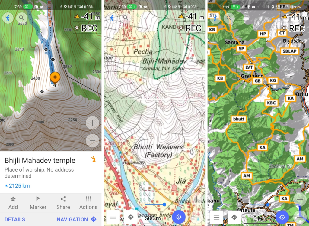
Above traverses can be easily navigated using most mobile mapping apps – many use Open Street Maps as base maps which include tens of thousands of kilometers of trails in Himalayas, Sahyadri, etc. OSM maps can be downloaded on the phone for offline exploration of the mountains without mobile network. Contours can be added to understand the topography of the terrain. Find a short tutorial over here.
Helpful content Peter
You’re adventurous n details of your journey will help others to navigate. Thank you for sharing the details.