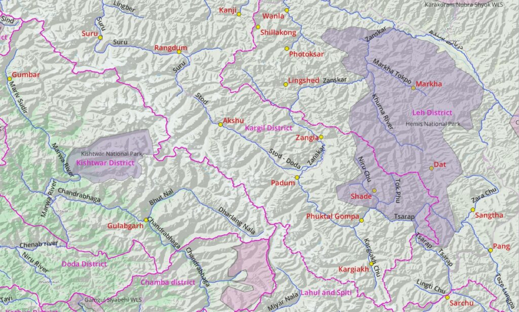
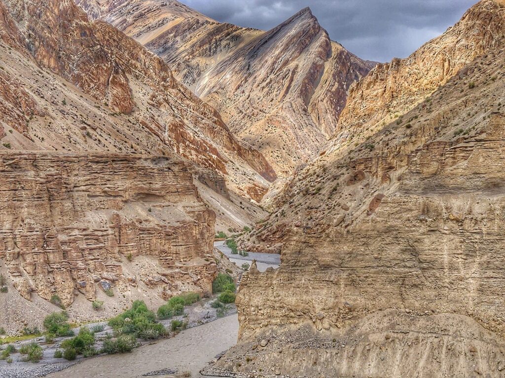
1. Geography
Zanskar is a tehsil of Kargil District in Ladakh. Padum is the administrative center. The Zanskar range is the mountain range separating the Zanskar valley (South) from the Indus valley (North). Kargil borders the districts of Leh (North/East), Lahaul & Spiti (South) and Kishtwar (South/West). We find the Hemis National Park (East), Kishtwar NP (West) and Sech-Tuan Wild Life Sanctuary (South). Padum is connected by road to Darcha via Shingo La, Kargil via Penzi La and Leh via Singe La.
1.1 Major valleys
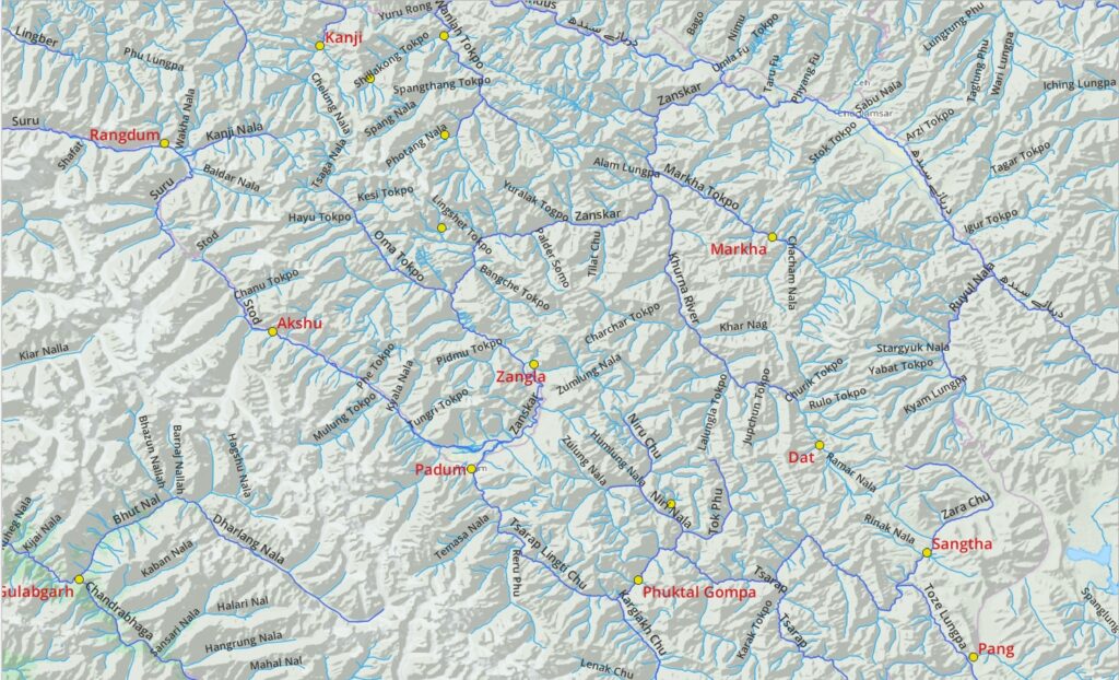
Find below major river valleys in and around Zanskar which provide a useful reference to understand the overall geography of the region:
- Zanskar river (flows North from Padum) tributaries Stod Doda, Tsarap, Orna, Khurna, Markha and joins Indus river
- Tsarap river (originates in Ladakh/Lahaul, flows West) tributaries Kargiakh Chu, Niru Chu, Zara Chu, Toze Lungpa and Yunam rivers
- Suru river – (originates in Zanskar, flows West) joins the Dras river
- Indus river (Ladakh, flows West) borders North, tributaries: Zanskar, Sangeluma
- Chandrabhaga (Chenab) river (Lahaul, Jammu, flows West) borders South, tributaries Miyar, Bhul Nal, Marwa rivers
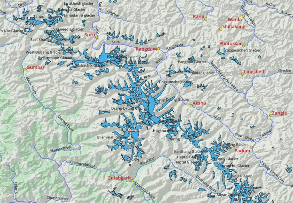
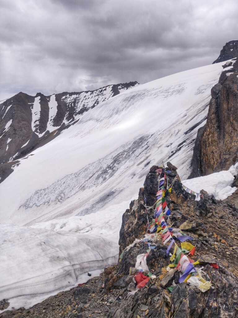
1.2 Glaciers
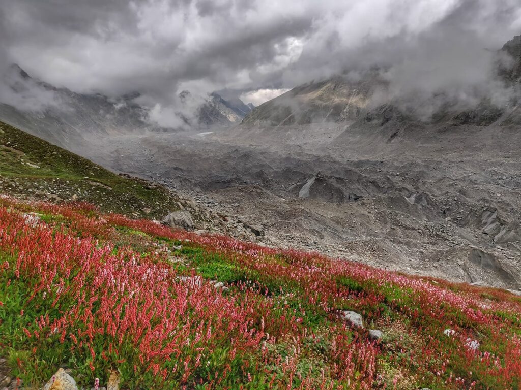
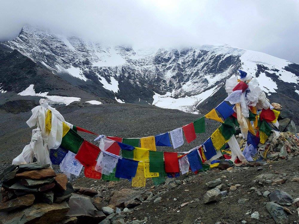
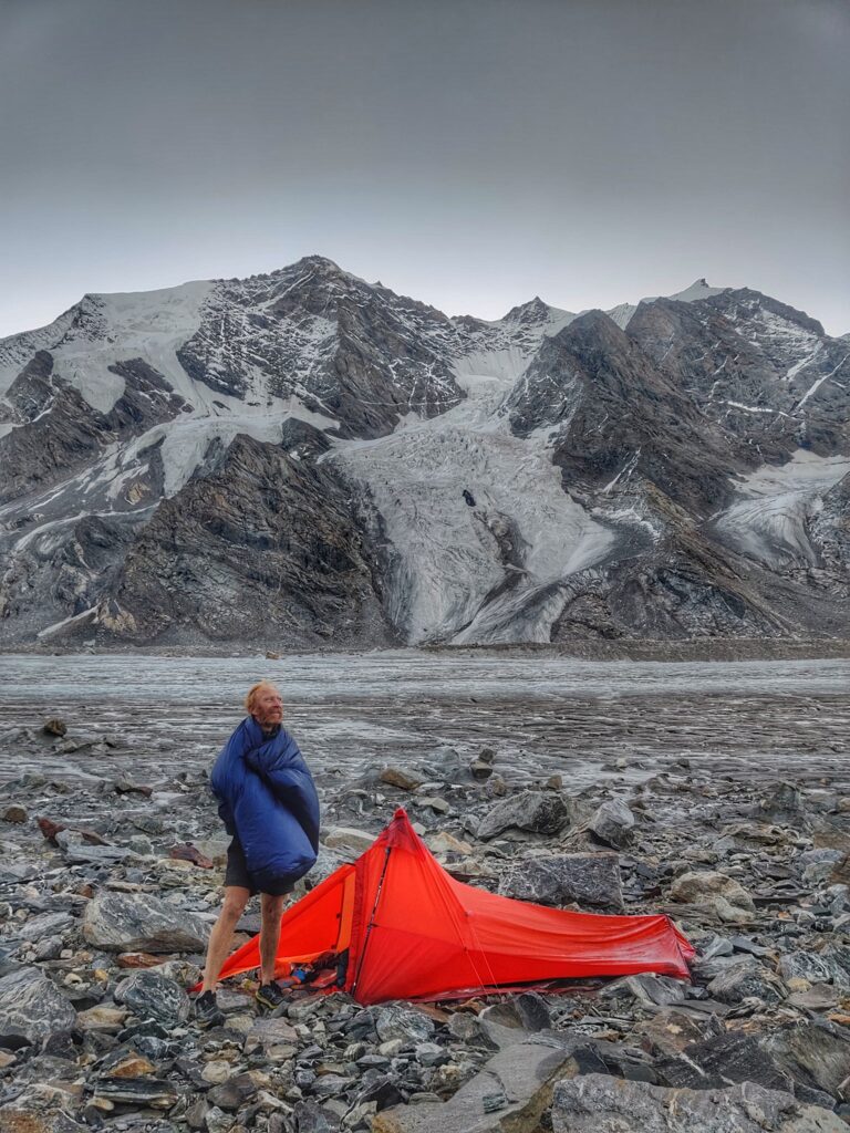
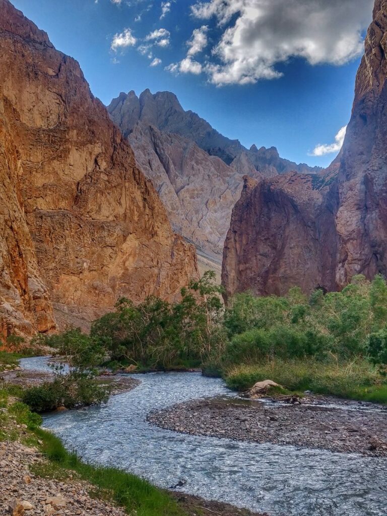
Many of the rivers and streams above originate from meltwater of various glaciers in the Great Himalayan Range separating Zanskar from Lahaul and Jammu & Kashmir.
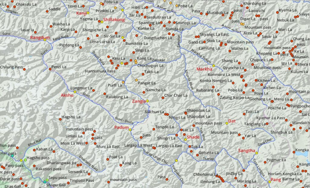
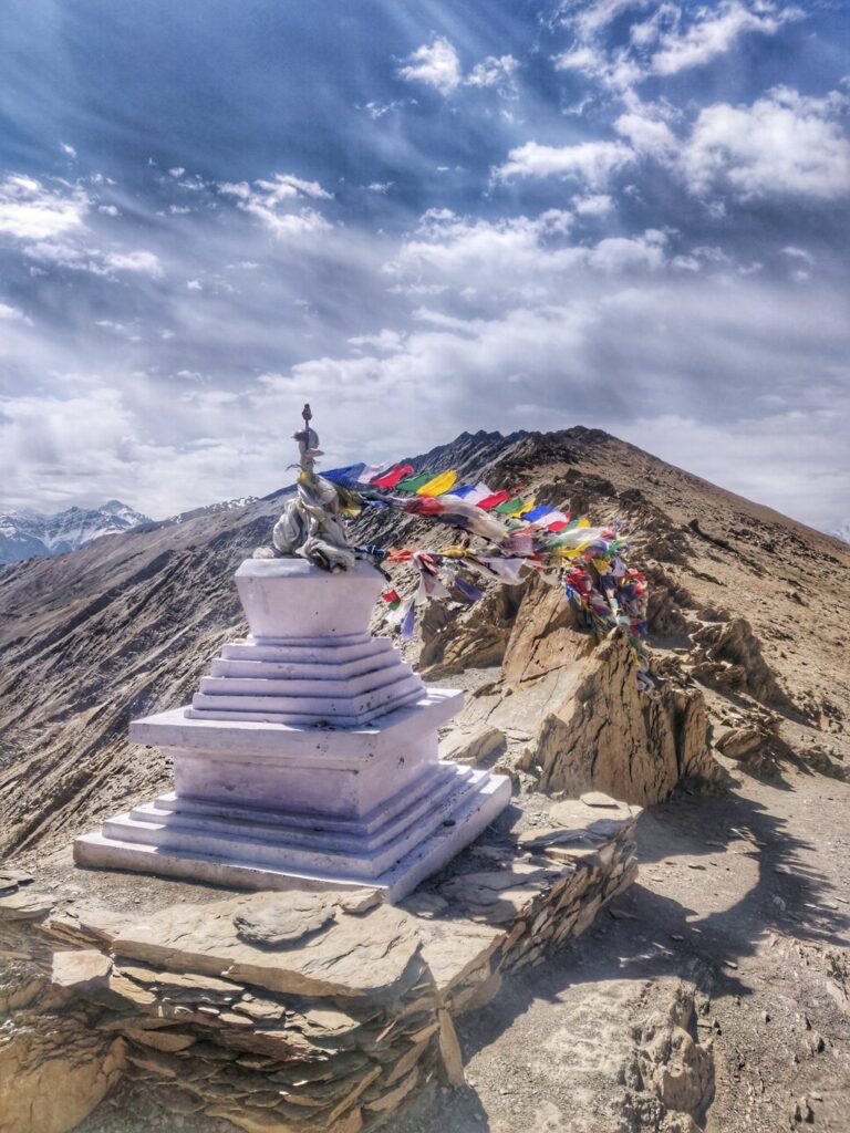
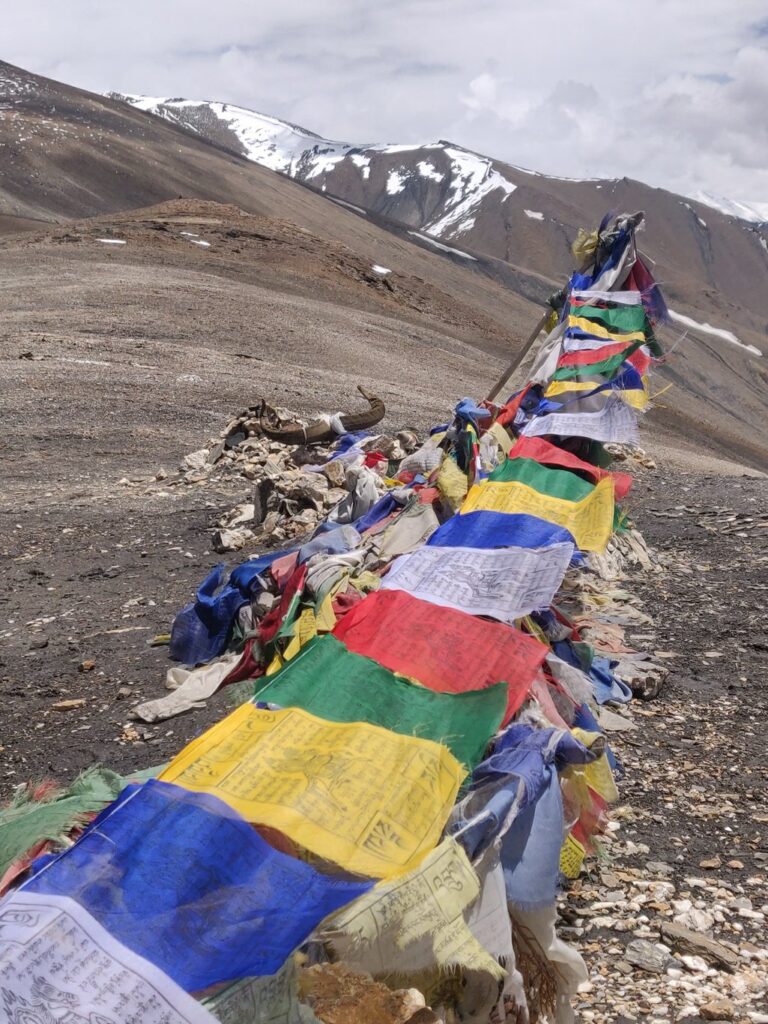
1.3 Mountain passes
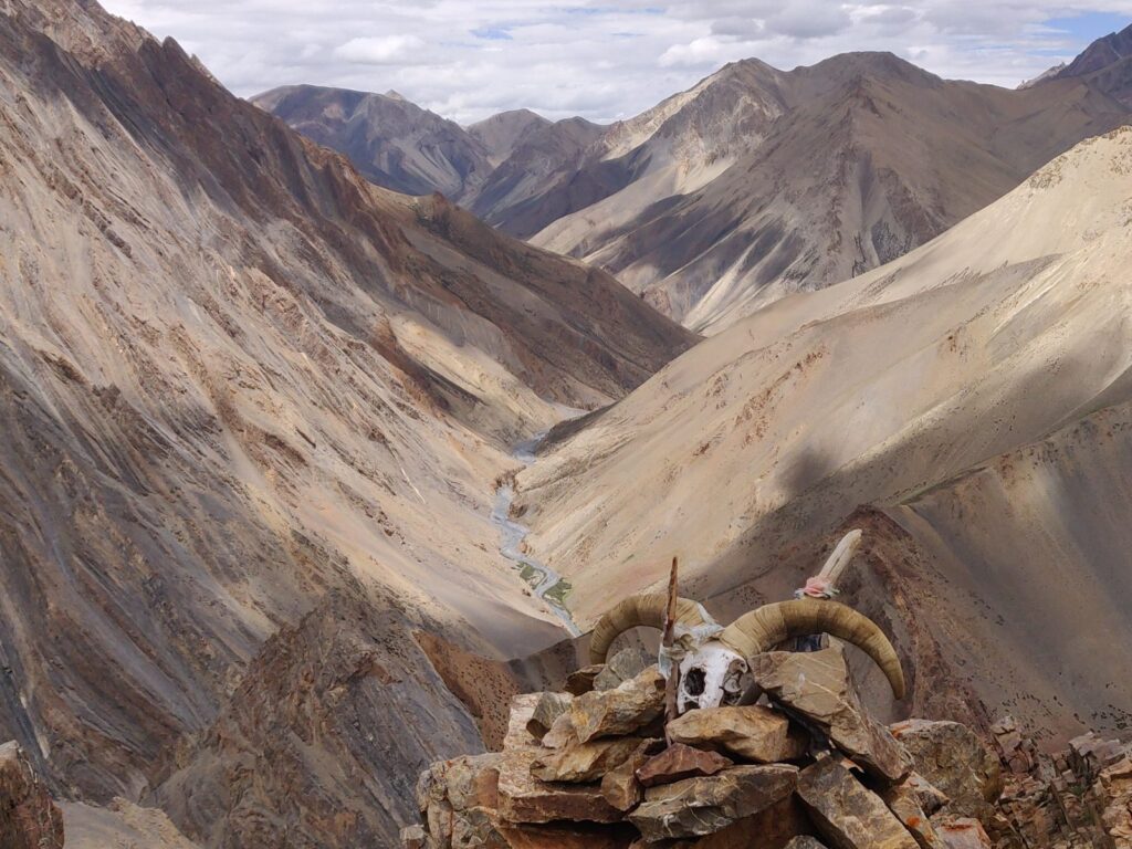
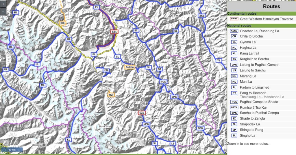
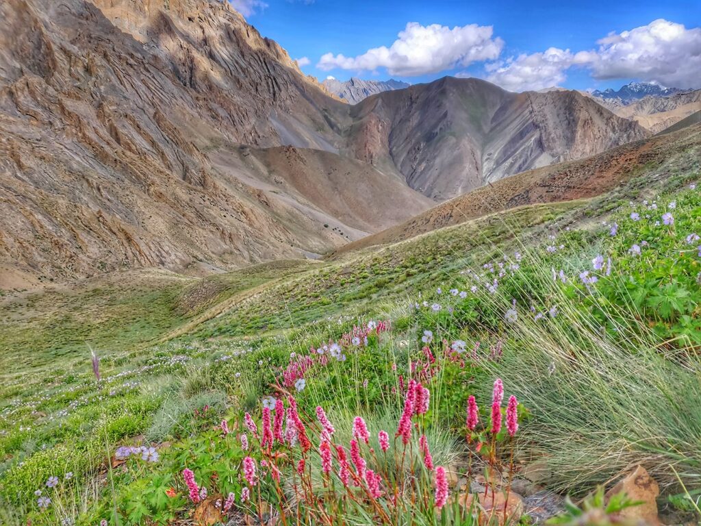
There are hundreds of mountain passes located on numerous larger and smaller ranges and ridgelines separating the above river valleys. The hiking routes presented further down go through these passes connecting key settlements in neighboring valleys. Passes have been colored as per altitude (legend below).
1.4 Peaks
There are hundreds of mountain peaks on various ranges located in and around the Zanskar region colored below as per altitude.
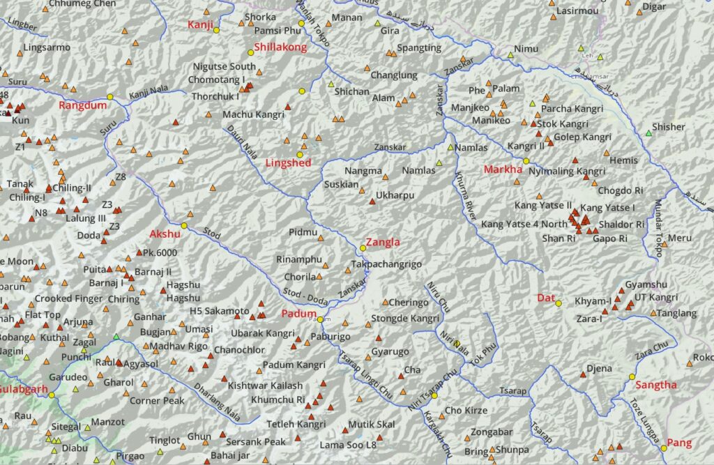
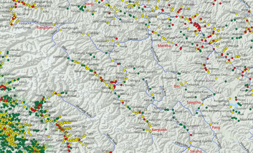
2. Settlements
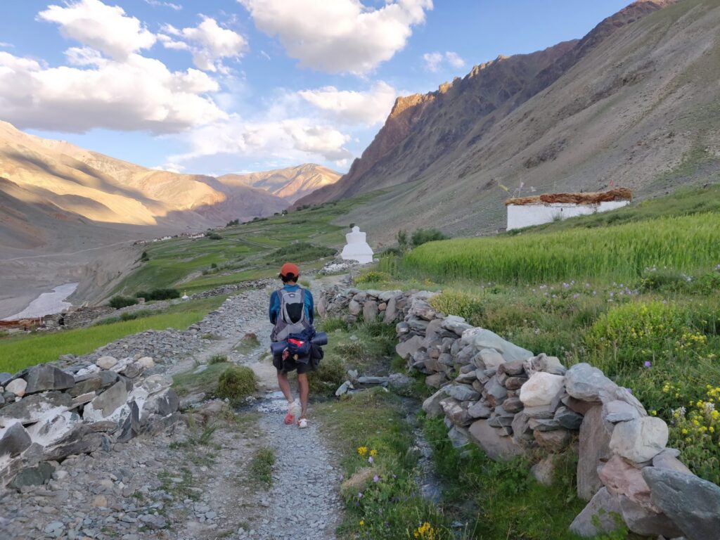
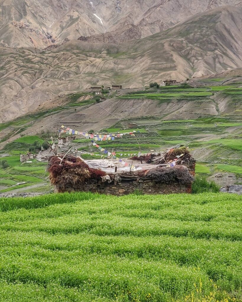
Find below several key settlements located in the above valleys in Zanskar and neighboring districts interconnected by numerous hiking routes across in-between high ranges. Below map shows all villages (red), hamlets (yellow) and remote dwellings (green) in and around the Zanskar region.
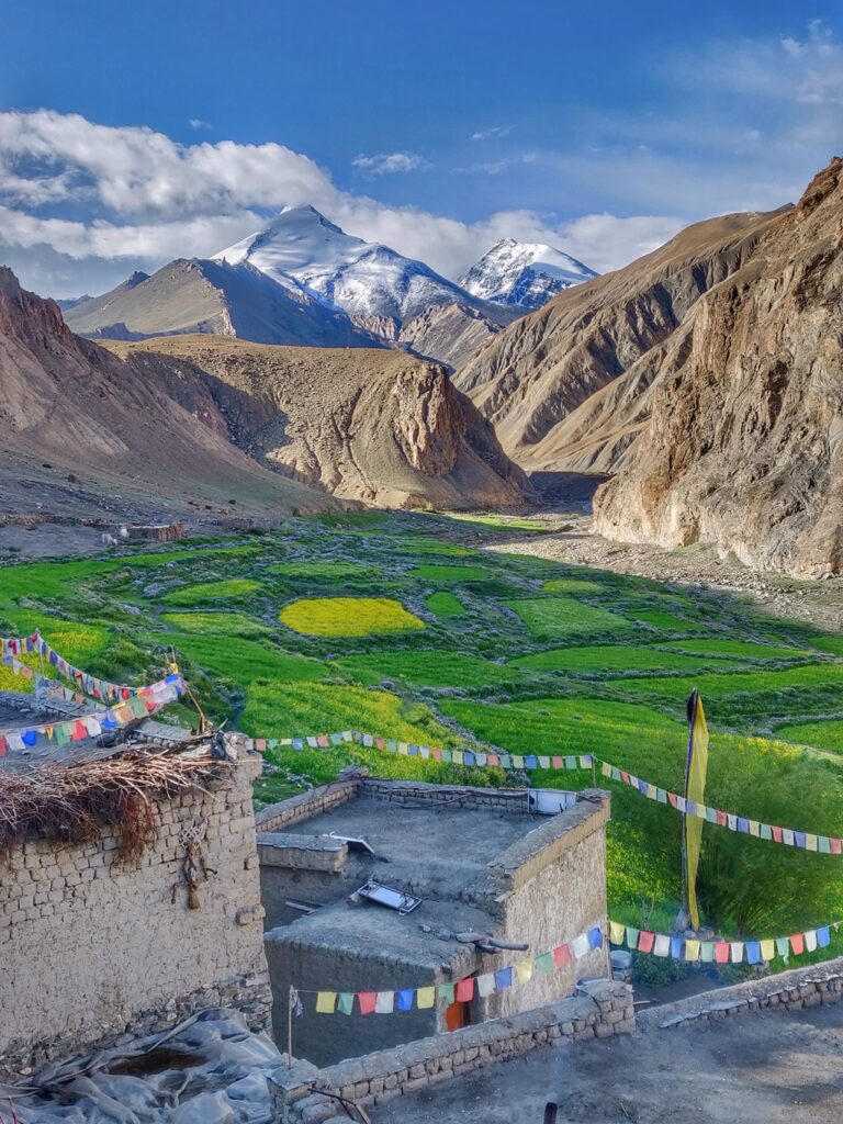
2.1 Zanskar (Kargil)
- Padum – Zanskar valley at confluence of Stod Doda and Tsarap
- Zangla – North of Padum in Zanskar valley
- Suru / Rangdum – Suru valley in West Zanskar
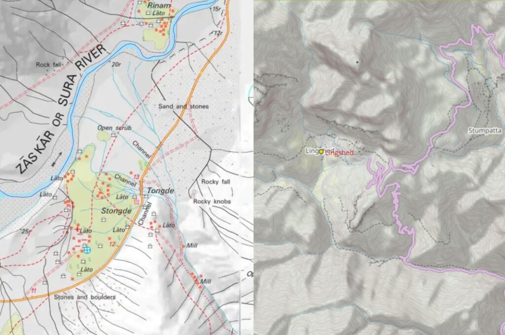
- Lingshed / Photoksar – interior settlements inside the Zanskar range bordering Ladakh
- Kargiakh – Southeast Zanskar in Kargiakh Chu valley
- Pukthal – interior monastery along Tsarap river
- Shade – remote village in Niru Chu in Hemis National Park
- Akshu – Stod Doda valley in West Zanskar
2.2 Ladakh
- Leh – administrative center of Ladakh in Indus valley
- Kanji – Sangeluma river valley, tributary of Indus
- Pang – Manali-Leh highway in Toze Chu valley
- Dat – origin of Khurna river in Hemis National Park
- Markha – Markha river valley in Hemis National Park
2.3 Lahaul
- Sarchu – along Manali-Leh highway on border of Ladakh & Lahaul at confluence of Tsarap and Yunam river
- Udaipur – confluence of Chenab river and Miyar valley
- Darcha – confluence of Jankar Nala and Bhaga river
2.4 Jammu & Kashmir
- Gumbar – Marwa river
- Gulabgarh – confluence of Bhut Nal and Chenab river
- Kargil – confluence of Suru and Wakha rong joining in Dras river
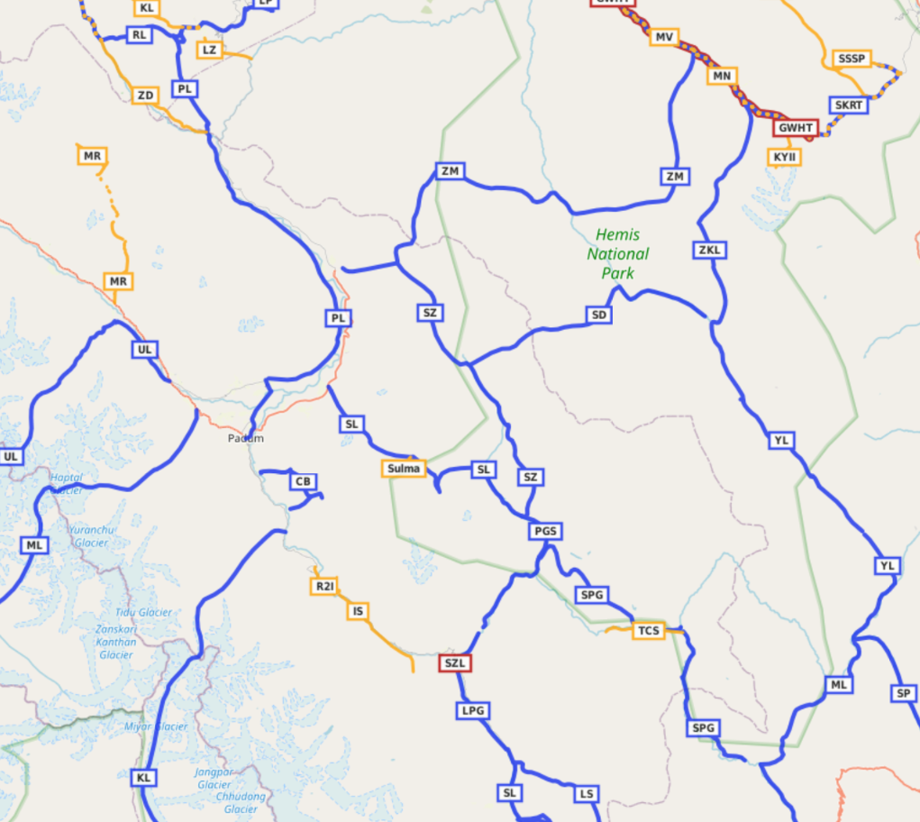
3. Hiking Routes
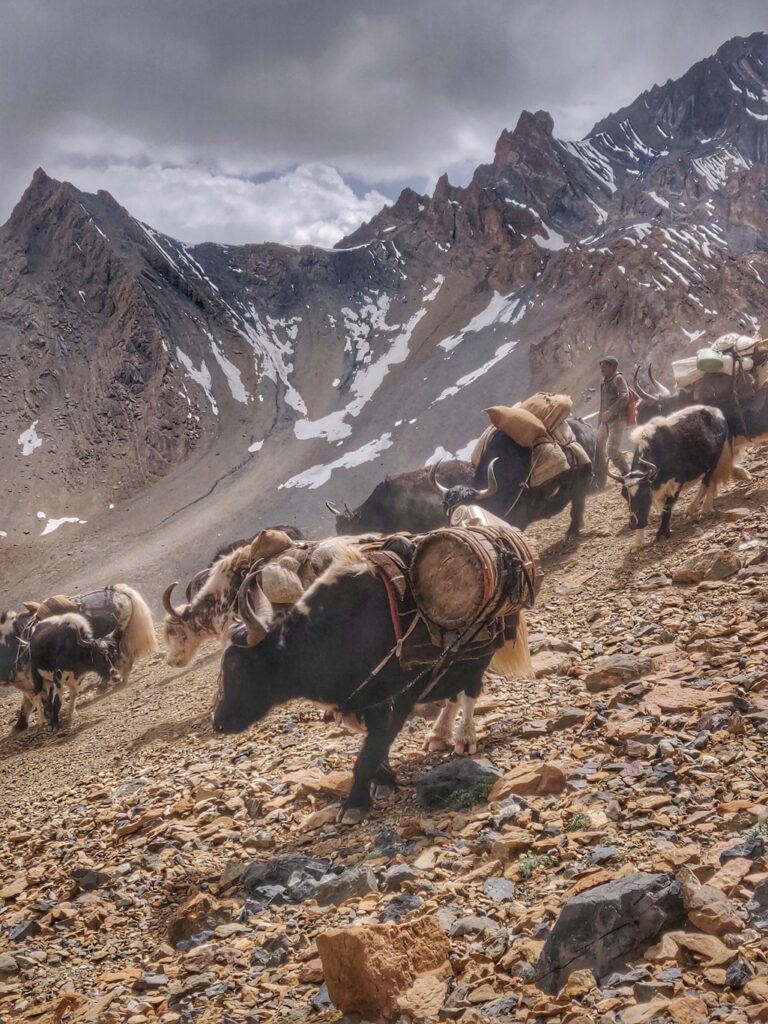
Below I present 25 beautiful hiking routes which have been accurately GPS recorded and mapped in Open Street Maps. Hiking routes connect key settlements in distinct valleys across mountain passes on in-between high ranges. Many of these routes are explored and documented on my blog ultrajourneys.org. Hiking routes are grouped in various regions below.
3.1 South (J&K, Lahaul)
The hiking routes / mountain passes below connect Zanskar (North) with Lahaul and Jammu & Kashmir (South) across the Great Himalayan Range (GHR)
- Singho La – 56km, 2760m+ connects Kargiakh in the Kargiakh Chu valley (Southeast Zanskar) across the Singo La (5100m) into the Jankar Nala valley leading to Darcha in the Bhaga valley. It’s a shortcut route to enter Zanskar from the Manali side. Recently a proper highway was constructed and eventually a tunnel will be made to provide all season access to the Zanskar valley.
- Kang La – 78km, 1830m+ a popular hiking route from Udaipur in the Chenab river valley in Lahaul through the beautiful Miyar valley and Miyar glacier across the Kang La (5400m) into the Temasa Nala valley flowing to the Tsarap Chu near Padum in Zanskar valley
- Mune La – 67km, 2460m+ connects Padum in the Zanskar valley via the Haptal Tokpo over the Haptal glacier and across the Great Himalayan Range via the Mune La (5500m) descending over the Chom Chhior glacier into the Darlang Nal valley towards Mahcel in the Bhut Nal valley continuing to Gulabgarh in the Chenab river valley of Jammu & Kashmir
- Umasi La – 61km, 2150m+ connects Ating in the Stod Doda valley in Zanskar via the Mulung Tokpo across the Kanthang glacier through the Umasi La (5300m) pass descending over the Kol glacier into the Buzas Nal to Mahcel in the Bhut Nal valley and continuing to Gulabgarh in the Chenab river valley of Jammu & Kashmir
- Haghsu La – 32km, 1900m+ from Akshu in the Stod Doda valley in Zanskar via the Sumche Tokpo across the Haghu Glacier and Haghsu La pass (5050m) into the Hagshu Nala valley crossing various large glacial lakes descending to the Bhuzas Nala and jining Mahcel in the Bhut Nal valley to finish at Gulabgarh in the Chenab river of Jammu & Kashmir
- Bobang Gali – 69km, 2000m+ starting at Suru in the Suru river valley of Zanskar into the Chelong Nala valley across the East Bobang glacier through the Bobang Gali pass (4740m) descending onto the West Bobang glacier into the Muskil Nar valley joining the Kaintal Nal valley flowing down to the Mariv Sudir valley to Gumbar in Jammu & Kashmir
3.2 North (Ladakh)
- Zangla to Nerak starting from Honia in the Zanskar river valley we climb up East into the side-valley to the Namche La (4500m) descending Northwest into the Bangche Tokpo valley crossing over the Pangat La turning East into a side-valley climbing North across the Takti La (4950m) descending to Nerak in the Zanskar river galley. Partly mapped in OSM. Blog post (partial – unable to cross the Bangche Tokpo due to water flow)
- Parfi La, Hanuma La – 72km, 2800m+ starting from Padum in the Zanskar valley heading North / downstream along the left bank of the river to the last settlement of Hanumil across the Pari La (3900m) into the Orna river valley and ascending into the Lingche Tokpo valley crossing the Hanuma La (4720m) into the Lalang Tokpo and across the Chapskang La (4160m) to Lingshed in Lingshet Tokpo valley deep inside Zanskar. Blog post Blog post 2
- Yulchung to Nerak
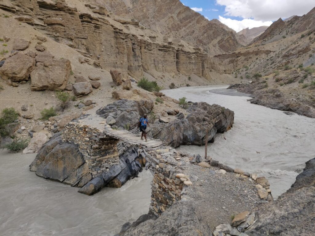
- Zingchan to Dibling 31km, 1450m+ from Zingchan we hike up Northwest along the East bank of the Zingchan Tokpo (Orna river) to Lingshed Sumdo where we ford to the West bank to cross a bit further again via a wooden bridge to the East bank continuing till the remote farming hamlet of Dibling
- Singe La – 37km, 2250m+ from Lingshed in the Lingshet Tokpo valley across the Murgum La (4370m) and Netuke La (4430m) into the valley of Gongma crossing over the Kyupa La (4450m) into the Yelchang Tokpo crossing over the Zanskar range via the Singe La (4950m) into the Singila Tokpo valley to Photoksar. Blog post
- Sirsir La, Shinguche La, 29km, 1450m+ from Photoksar in the Photang Tokpo valley across the Shirshir La (4800m) crossing the Spang Nala valley and ascending into the Spangthang Tokpo across the Shinguche La (5100m) into the Shillakong valley. Blog post
- Yogma La, 14km, 1000m+ from Shillakong valley across the Yogma La (4710m) descending along the Las Kayang Nala to Kanji in the Kanji Rong valley in Ladakh tributary of the Indus river. Blog post Blog post 2 Blog post 3
- Shillakong gorge, 18km, 550m+ descending through the Shillakong valley (gorge) to Wanla in the Wanlah Tokpo valley tributary of Indus river. Blog post
- Kanji La – 38km, 1150m+ from Kanji in Ladakh upstream along the Kanji Rong, Phu Lungpa and Hemar Nala across the Zanskar range via the Kanji La pass (5250m) into the Kanji Nala valley joining the Rindom Nala valley flowing to Randum in the Suru valley of Zanskar. Blog post Blog post 2
- Pidong La, Barmai La – 45km, 2100m+ from Rangum in the Suru valley ascending via the Kanji Nala, Ringdom Nala, Spangbrok Nala across the Pidong La (510m) descending into the Borong Nala and Orna river valley passing the interior settlement of Dibling to ascend via the Zumse Tokpo across the Barmai La. (4670m) into the Lalang Tokpo to Lingshed in interior Zanskar. Blog post Blog post 2
- Ralakung La – 20km, 1800m+ from Phey in the Stod Doda valley climbing up in the Phe Tokpo valley across the Ralakung La (5190m) to the remote settlements of Phima Ralakung in the Kadapong Tokpo and Nagama Ralakung in the Ralakung Tokpo valleys tributaries of the Orna river
3.3 Southeast (Lahaul)
- Kargiakh Chu – 20km, 700m+ hiking from Phuktal Gompa in the Niri Tsarap Chu valley towards Purne on the confluence with the Kargiakh Chu following a trail on the South bank of the Kargiakh river to Lalung in Southeast Zanskar. Blog post
- Phirtse La – 48km, 1850m+ from Lalung in the Kargiakh Chu valley (Southeast Zanskar) into the Phise Tokpo across the Phirtse La (5550m) into the Lingti Chu valley joining the Yunam river near Sarchu on the border of Lahaul & Ladakh/. blog post
- Surichun La – 43km, 1750m+ from Kargiakh village in the Kargiakh Chu valley into the Surichun Lungpa across the Surichun La (5680m) into the Lingti Chu valley joining the Yunam river near Sarchu on the border of Lahaul & Ladakh
- Nialo Kontse La, Gotunte La – 72km, 3050m+ Beautiful interior traverse from Phuktal Gompa in the Niri Tsarap Chu valley into the Niri Chu climbing across the Nialo Kontse La (4740m) and Gotunte La (5140m) back into the Tsarap river valley proceeding upstream along various deserted interior farming settlements Yurshun, Mone Leh, Satak hopping across the smaller Punshum La (4300m), Chhohama La (4370m), Umlung La (4260m), Umlung La 2 (4300m), Laol La (4380m) before reaching to the Manali-Leh highway near the Gatta Loops nearto Sarchu in Ladakh. Blog post Blog post 2 Blog post 3 Blog post 4 Blog post 5
- Marang La, Jinzby La – 36km, 1400m+ starting from the Gatta Loops on the Manali-Leh highway near Sarchu proceed along the Tsarap Chu river into the Langturma Lungpa valley across the Marang La pass (5350m) into the Tojok Nala valley crossing the Jinzby La pass (4640m) into the Zara Chu valley passing the confluence of the Toze Lungpa (flowing from Pang) to the remote settlement of Sangtha in the Zara river valley. Blog post Blog post 2
- Pogmar La
- Tsarap river – 21km, 500m+ from Phuktal monastery upstream along the Niri Tsarap Chu valley into the Niri Chu and the remote settlement of Shade inside the Hemis National park
- Stongde La – 36km, 1600m+ from Shade village in the Niru Chu valley into the Singri Chu valley and Zalung Nala across the Tongdo La (5140m) descending to Songde village in the Zanskar valley
3.4 Northeast (Ladakh)
- Gautang La, Lar La, Ningri La – 47km, 2200m+ interior route from Shade village in the Niri Chu valley across the Gautang La (4870m) and Lar La (4660m) to the dwelling of Ningri (yak grazing grounds) across the Ningri La (5150m) into the Zumlung Nala valley descending to Zangla in the Zanskar river valley. Blog post
- Shapodak La – 34km, 1300m+ from the remote dwelling of Ningri in the Niru Chu valley across the Shapodak La (5650m) into the Lalungla Tokpo, Chhokzang Dungsa to Dat village in the Dat Tokpo valley
- Charchar La, Rubarung La – 65km, 2700m+ from the Zumlung Nala valley across the Charchar La (4900m) into the Charchar Tokpo, Khurna river and Khar Nag valleys across the Rubarung La (4850m) into the Chacham Nala joining the Markha river valley near Markha village
- Zalung Karpo La – 43km, 1350m+ from Hankar in the Markha valley into the Hankar Tokpo and Langtang Chan valleys across the Zalung Karpo La (5150m) into the Gunjur Nala valley to the remote settlement of Dat in the Dat Tokpo. Blog post
- Yar La – 30km, 850m+ connects Sangtha in the Zara Chu valley following the Lungmoche Nala across the Yar La (4930m) into the Sangdung Nala and Damgo Nala to the interior settlement of Dat. Blog post
- Toze Lungpa – 21km, 300m+ connects Lun (near Sangtha) in the Zara river valley along the Toze Lungpa river to Pang along the Manali-Leh highway
Navigation
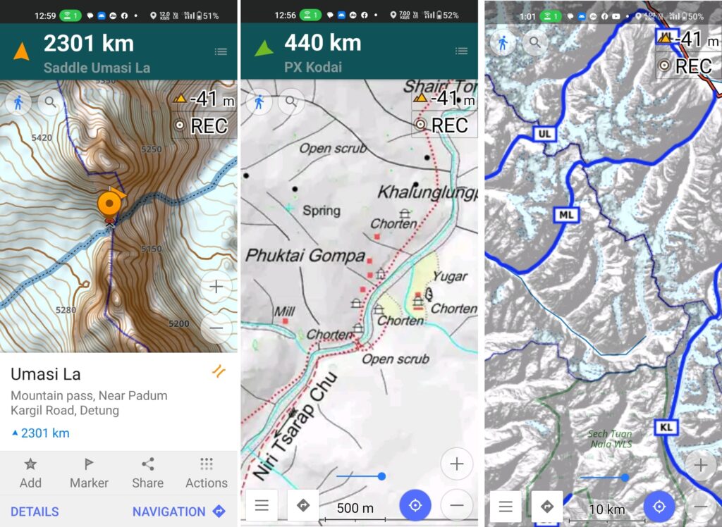
Above traverses can be easily navigated using most mobile mapping apps – most use Open Street Maps as base maps which include tens of thousands of kilometers of trails in Himalayas, Sahyadri, etc. OSM maps can be downloaded on the phone for offline exploration of the mountains without mobile network. Contours can be added to understand the topography of the terrain. Find a short tutorial over here.
References
- Tsarap traverse webinar
- Zanskar traverse webinar